Forecast for the Skyline Area Mountains

Brett Kobernik
Issued by Brett Kobernik for
Sunday, March 3, 2019
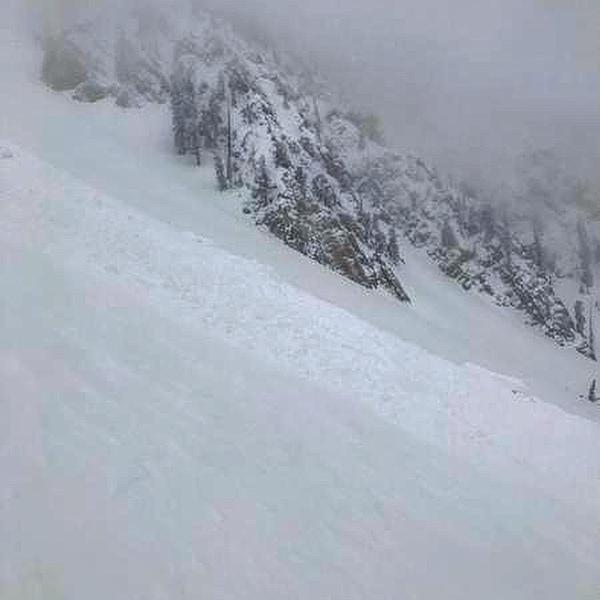
The overall avalanche danger is MODERATE today but may rise to CONSIDERABLE if we get more snow and or wind than anticipated. The danger is more pronounce in the upper elevation more east facing terrain. Watch for areas of wind drifted snow along the more east facing steep slopes especially just below the ridgelines.
Low
Moderate
Considerable
High
Extreme
Learn how to read the forecast here
Weather and Snow
Saturday: We picked up another 8 inches of dense snow in the last 24 hours bringing us up to 14 inches since Thursday night. There was an increase with the southwest wind but it didn't get all that strong. Temperatures are fairly mild in the mid to upper 20s.
Today: We should see another 6 inches of snow from now through Monday morning. Temperatures will remain mild so the snow will be quite dense again. West wind should decrease as the day goes on.
Extended: This storm will slowly clear out on Monday and then we'll see a break on Tuesday. Another series of storms moves in Wednesday which will impact our area through Saturday.
Recent Avalanches
A skier was caught and carried in a small to medium size avalanche on Mt Nebo on Saturday. He was not buried and was uninjured. Because of poor visibility, it was difficult to tell whether he triggered a fresh wind drift or he was hit from above by a natural avalanche. REPORT HERE.
Ad
Avalanche Problem #1
Wind Drifted Snow
Type
Location
Likelihood
Size
Description
The new snow seemed fairly well behaved during the day on Saturday. There was an increase in southwest wind speeds late in the day and into the evening so it's likely that some fresh drifts formed. It's difficult to say how sensitive they will be but we need to treat them as guilty until proven otherwise. Triggering a fresh wind drift is your main concern today. Watch for cracking within the new snow which will give you an idea of how sensitive things are. The wise thing is to just avoid the steep upper elevation more east facing slopes today and let the fresh drifts settle and stabilize. Keep in mind that the wind swirls around a lot in the high terrain and can create drifts around many different terrain features.
Additional Information
This forecast is from the U.S. Forest Service, which is solely responsible for its content. This forecast describes general avalanche conditions and local variations always occur.