UDOT PLANNED AVALANCHE CLOSURES!!

Forecast for the Skyline Area Mountains

Brett Kobernik
Issued by Brett Kobernik for
Saturday, March 11, 2023
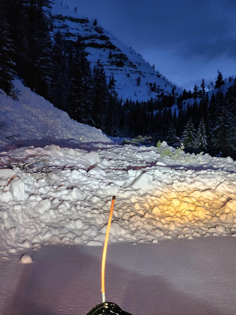
The avalanche danger rating remains CONSIDERABLE today.
Strong wind has drifted the very high density snow and created drifts and large cornices.
Human triggered avalanches are likely.
Low
Moderate
Considerable
High
Extreme
Learn how to read the forecast here
Special Announcements
HUNTINGTON CANYON IS CLOSED DUE TO AVALANCHES THAT HAVE CROSSED THE ROAD AND BLOCKED IT.
Weather and Snow
Current Conditions: Things are calming down with the storm. Snowfall has tapered off. Wind speeds have slowed. Temperatures have cooled. We ended up with about a foot of VERY dense snow since Thursday. It contains about 2 inches of water. The wind was strong during the storm. There are still some stronger speeds along the very highest peaks speeds are dramatically slower in the mid elevations. Temperatures were very warm and now are in the low to mid 20s.

Mountain Weather: We have a little break this morning but may see some light snowfall again this afternoon and evening. Wind will be from the west with light to moderate speeds. Probably just strong enough to drift a little snow along the higher ridges. Temperatures should be in the mid 20s. The weather pattern looks unsettled with chances for snow almost daily with a more significant storm moving through midweek.
Recent Avalanches
There were significant avalanches in Huntington Canyon Friday night that blocked the road.
Ad
Avalanche Problem #1
New Snow
Type
Location
Likelihood
Size
Description
You will want to give the new snow some time to settle and stabilize before getting onto steeper terrain. Here is what I'll be looking out for today:
  • Higher terrain: Wind drifted snow, especially along ridgelines. The drifts and slabs will be most pronounced right along and below ridges on the more east facing slopes. Don't screw around near cornices.
  • Mid elevations: This is probably to least likely place to trigger an avalanche today but watch for crossloaded terrain features on all aspects.
  • Low elevations: If the snow is wet and punchy, avoid all steep terrain especially being down in steep gullies and ravines.
If the sun peeks through it may heat the new snow enough to make it unstable and natural wet loose avalanches may release at any elevation.
General Announcements
This forecast is from the U.S.D.A. Forest Service, which is solely responsible for its content. This forecast describes general avalanche conditions and local variations always occur.