Current Conditions: Same story, different day. Temperatures made it into the mid 30s on Wednesday with light northwest wind. Wind bumped up in speed very slightly overnight and low temperatures were in the mid to upper 20s.
Mountain Weather: Over the next couple of days temperatures will be mild with highs in the mid to upper 30s and mostly clear skies. Moderate speed wind from the north will decrease as the day goes on. There's no real storm in sight for at least another week. Models depict a snow storm around the 7th but I have zero confidence in this solution. The big picture continues to look the same to me which is a ridge of high pressure dominating the west with an occasional weak storm that attempts to drop through.
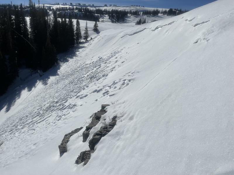
My partner and I stumbled onto another small avalanche that looks like it released during our last little storm just before Christmas. It is similar to another nearby avalanche. Steep easterly facing wind loaded slope right below a ridgeline. The big question for me is whether old faceted snow was the weak layer. After looking at these slides it's my conclusion that these are just run of the mill wind slabs. No monkey business, just wind drifting snow onto a steep slope until it fractured.
More details are here:


