Forecast for the Skyline Area Mountains

Issued by Brett Kobernik on
Friday morning, December 14, 2018
Friday morning, December 14, 2018
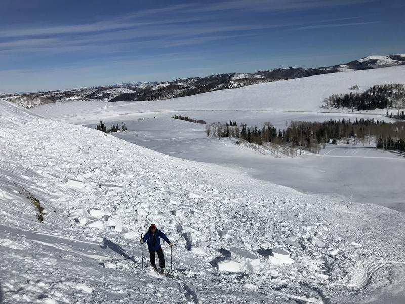
A MODERATE avalanche danger exists in the upper elevation northwest through southeast facing slopes. HUMAN TRIGGERED AVALANCHES ARE POSSIBLE HERE. Recent wind drifted snow has added weight to slopes that have old sugar snow near the ground. On slopes that don't have old sugar snow near the ground, the fresh drifts alone may still be triggered but they will be getting quite a bit more stubborn. The easiest way to stay out of danger today is just to avoid the high elevation northwest through southeast facing steep slopes.

Low
Moderate
Considerable
High
Extreme
Learn how to read the forecast here