Forecast for the Skyline Area Mountains

Brett Kobernik
Issued by Brett Kobernik for
Saturday, November 24, 2018
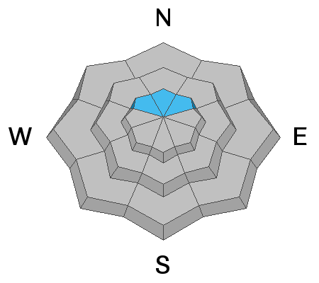
The avalanche danger is CONSIDERABLE on steep slopes above 9500' that face northwest, north and northeast. Old weak snow from October will not be able to support the new wind blown snow. Human triggered avalanches are likely in this terrain. Outside of this terrain, the avalanche danger is LOW to MODERATE.
Low
Moderate
Considerable
High
Extreme
Learn how to read the forecast here
Weather and Snow
The storm overnight didn't quite meet my expectations. The central part of the Skyline only picked up a trace to an inch of snow. However, the northern part of the Skyline looks like it did a little better. There is 4 to 6 inches new snow at the top of Fairview Canyon. The rain/snow level is at about 7000 feet or a bit higher. Wind speeds are increasing and we're seeing gusts to almost 20 in the canyon bottoms and gusts to around 50 along the ridges. Temperatures are still quite mild in the mid to upper 20s.
We'll see a cold front move later this morning with continued strong winds and snow down to the valley floor. We should see 6 to 10 inches of snow by the time it's done late today. High pressure sets in for the next few days then we'll see the chance for more storms in the middle and late portions of next week.
Ad
Avalanche Problem #1
Persistent Weak Layer
Type
Location
Likelihood
Size
Description
There really isn't enough snow to do any winter recreating aside from hiking through the snow. However, if you are getting into the mountains and are up in the higher terrain, there is a chance that you might be able to trigger a shallow soft slab avalanche. The reason for this is there is 6 to 14" of old snow from October on north facing terrain above 9700' that has been sitting around and turning into a very loose layer of snow. Now that we are stacking new snow on top of that old weak snow, the old snow is prone to collapsing and causing an avalanche. Places to be cautious are areas above about 9700' or so that face northwest, north and northeast where the old pre-existing snow is present AND there is 4 to 6 inches of new snow. Be especially cautious if you notice that the new snow has been drifted by the wind. It will feel "thick" or perhaps have a "wind crust" on the surface rather than feeling like fluffy powder snow.
Additional Information
We are very proud to introduce our new website for the 2018-19 winter season. This will provide an easier and cleaner way to view all of the snow and avalanche information that you've come to rely on. We are quite happy with how the new website performs on mobile devices as well. We think you'll find the desktop or laptop experience pleasant as well. We are still tying up some loose ends so bear with us.
LINK TO VIDEO CONTAINING INFO ABOUT NEW WEBSITE