Forecast for the Skyline Area Mountains

Issued by Brett Kobernik on
Friday morning, November 23, 2018
Friday morning, November 23, 2018
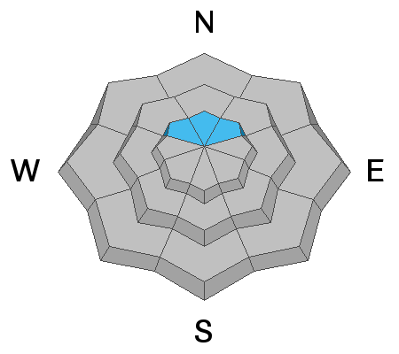
Today we have a MODERATE avalanche danger in terrain that faces northwest through northeast above about 9700' in elevation. Shallow human triggered avalanches are possible. Terrain outside of the described terrain will have a LOW avalanche danger because there is no old weak snow present from October.

Low
Moderate
Considerable
High
Extreme
Learn how to read the forecast here