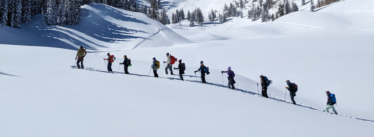
Each resort in Utah has their own policies regarding uphill travel. Check out the summary of each resort's policy before traveling uphill. For further questions contact the resort directly.
SAVE THE DATE!
Skies are clear.
But not for long. A weather pattern change is afoot.
Ahead of Saturday's winter storm, temperatures are warmer (overnight lows in the upper 30s to mid-40s), and the winds from the southeast picked up in the wee hours of the night (10-15mph with gusts to 20). Snowfall should begin early Saturday morning and last through Saturday night. The wet-foot in me (meteorologist slang for pro-snow bias) is forecasting 8-12" of snow in the upper reaches of the Cottonwoods with about half that along the southern end of the Park City ridgeline. I'm seeing the snow levels dropping to maybe 6000' by late Saturday. The weather goes quiet for Sunday/Monday before the next series of storms kick back in Tuesday evening. A lot can change in the details, but it looks like a series of winter storms through and possibly beyond Thanksgiving.
What does this mean for avalanche conditions? The meager snow that exists is mostly limited to the polar aspects above about 9000' and is a weak mess of crusts and loose sugary faceted snow. All that is lacking is a cohesive slab of snow - which may arrive with the storm this weekend and will certainly arrive (if the weather models verify) next week. We'll need to start approaching steep terrain with caution.
Park City Snow Safety Adam Davis has an excellent report from the PC ridgeline. His photo has a sharp line of demarcation between dirt and snow - which is key this time of year because one may *assume* that heavy snowfall falling on bare ground will be more stable (no old pre-existing weak snow) than the areas that are white. Greg Miller and Dave Kelly also have an excellent report from the Cottonwood Ridgeline above Silver Fork HERE.
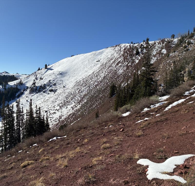
Adam Davis photo along the PC ridgeline: areas holding old snow will be more suspect once the storms arrive...