Forecast for the Salt Lake Area Mountains

Issued by Evelyn Lees on
Wednesday morning, April 17, 2019
Wednesday morning, April 17, 2019
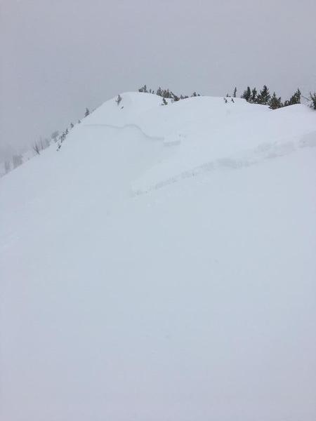
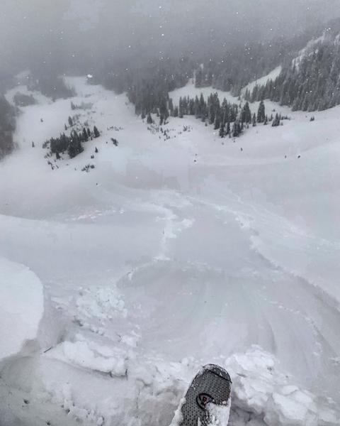
The avalanche danger will rapidly rise from LOW to CONSIDERABLE with sun and daytime heating on steep slopes of almost all aspects and elevations. Wet snow avalanches will entrain snow as they move down slope, resulting in large piles of cement like debris. As soon as the snow becomes damp, it’s time to get off of and out from under steep slopes. Avoid travel in avalanche runout zones - below gullies and chutes - where long running natural avalanches could reach even the lower elevations.
Mark will update the Salt Lake City, Ogden and Provo forecasts Thursday morning (April 18th) by 7:30 am.

Low
Moderate
Considerable
High
Extreme
Learn how to read the forecast here