UDOT PLANNED AVALANCHE CLOSURES!!

Forecast for the Salt Lake Area Mountains

Mark Staples
Issued by Mark Staples for
Friday, April 1, 2022
Hello April! Today the avalanche danger is LOW on all aspects and elevations.
Cold temperatures overnight and two days of solid refreezes of the snowpack have made avalanches unlikely as long as the snow doesn't heat up too much today.
Low
Moderate
Considerable
High
Extreme
Learn how to read the forecast here
Special Announcements
We'd like to thank our incredible community for your support of the 2022 Spring Campaign. We raised $75,000 in two weeks to help grow our avalanche forecasting program. Thank You!
Weather and Snow
This morning, air temperatures range from 14 to 25 degrees F, and winds are blowing 7-9 mph gusting to 20 mph from the west-northwest. Light snowfall yesterday was pretty to see but only accumulated a trace of new snow.
Today, skies will be clear and sunny. Air temperatures should remain cool and climb into the mid to upper 20s F at higher elevations. At trailhead elevations temperatures should be near 40 degrees F. However, the strong April sunshine should make it feel quite warm. Winds should die down this morning and remain light today.
Looking ahead, some clouds should come back tomorrow with a few disturbances that could deliver a few snowflakes. A better chance for snow arrives Tuesday with maybe 6 inches of snow followed by warm, dry weather the rest of the week.
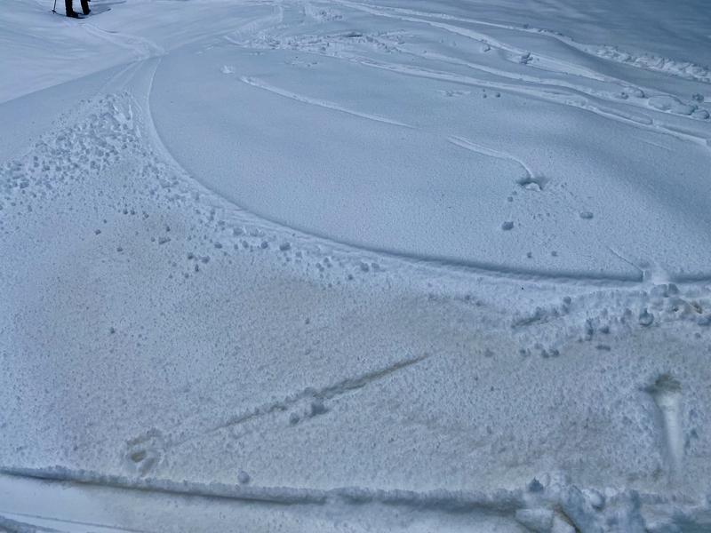
Snow conditions: Tuesday's snow was a welcome sight but it warmed quickly and should have an ice crust on top of it in most places except due north-facing slopes at upper elevations. There appears to be some dust within the new snow that local avalanche professional Bill Nalli found yesterday throughout Big Cottonwood Canyon (photo below).
Recent Avalanches
No avalanches were reported yesterday; however, many wet avalanches occurred during last weekend's dramatic warm-up. Some avalanches occurred in the new snow late Tuesday.
See reports of all avalanche activity HERE
Ad
Avalanche Problem #1
Persistent Weak Layer
Type
Location
Likelihood
Size
Description
The buried persistent weak layer (PWL) has become a damp layer of rounding facets. It's more like a layer of soft snow underneath very firm and refrozen snow. Triggering an avalanche on this layer isn't impossible but will be unlikely especially with such refrozen snow on top.
In the future, this layer could make wet avalanches when the snow begins melting again and liquid water percolates down through the snowpack, but I don't think it will be a concern today. Local guide and avalanche pro, Tyson Bradley, found this layer in Days Fork yesterday and had similar thoughts - we won't be triggering avalanches on this layer now, but it may come to life again before spring is over.
Video from Nikki's field day in Upper Big Cottonwood Canyon on Wednesday. What she found mirrored what I saw in the Uintas on Thursday in this video.
Avalanche Problem #2
Wet Snow
Type
Location
Likelihood
Size
Description
The snow is solidly refrozen this morning, but there could be a few small, wet loose avalanches as Tuesday's snow warms today. The dust that Bill found will speed this process by absorbing more heat from the sun. Likely areas for these small point releases will be near exposed rocks and cliffs that really heat up in the sun.
Additional Information
A related problem to wet avalanches are glide avalanches which happen in places where the snowpack rests on a smooth surface like a rock slab (places like Stairs Gulch, Broads Fk, and Mill B South of Big Cottonwood Canyon). When liquid water reaches the bottom of the snowpack, a glide crack opens as the entire snowpack moves downhill until at a random time it releases catastrophically producing a glide avalanche. One was observed last weekend in Broads Fork, and I won't be surprised to hear of more happening this spring at random times.
General Announcements
Who's up for some free avalanche training? Get a refresher, become better prepared for an upcoming avalanche class, or just boost your skills. Go to https://learn.kbyg.org/ and scroll down to Step 2 for a series of interactive online avalanche courses produced by the UAC.
This information does not apply to developed ski areas or highways where avalanche control is normally done. This forecast is from the U.S.D.A. Forest Service, which is solely responsible for its content. This forecast describes general avalanche conditions and local variations always occur.