A new version the UAC's mobile app has been released with new features and improvements. Learn more and download the app HERE.
Yesterday, riders enjoyed improved sliding conditions with the first refreeze in 10 days the night prior. However, temperatures climbed into the 50s F during the day (a balmy 58°F at Collins) under clear skies. Last night, lows were in the low to mid 40s F. Yikes.
This morning, the snowpack remains mostly wet and unconsolidated, with temps in the mid 40s F. Light SW winds may have helped cool surfaces and will continue, but won't do much for the snowpack as a whole. High clouds move in today, but high-pressure remains with temps set to climb into the 50s F.
Looking ahead, calm weather continues through the weekend. There are two small systems slated to arrive next week, but they'll remain duds until proven otherwise for me—as they've been trending drier and drier in model runs.
One of the best ways to get a handle on wet snow problems is to see how the snowpack and temperatures interacted in the past week. Lucky for you, UAC Forecaster Drew Hardesty just published the Week in Review—SparkNotes for the past week of forecasts, weather, and avalanche activity at your fingertips.

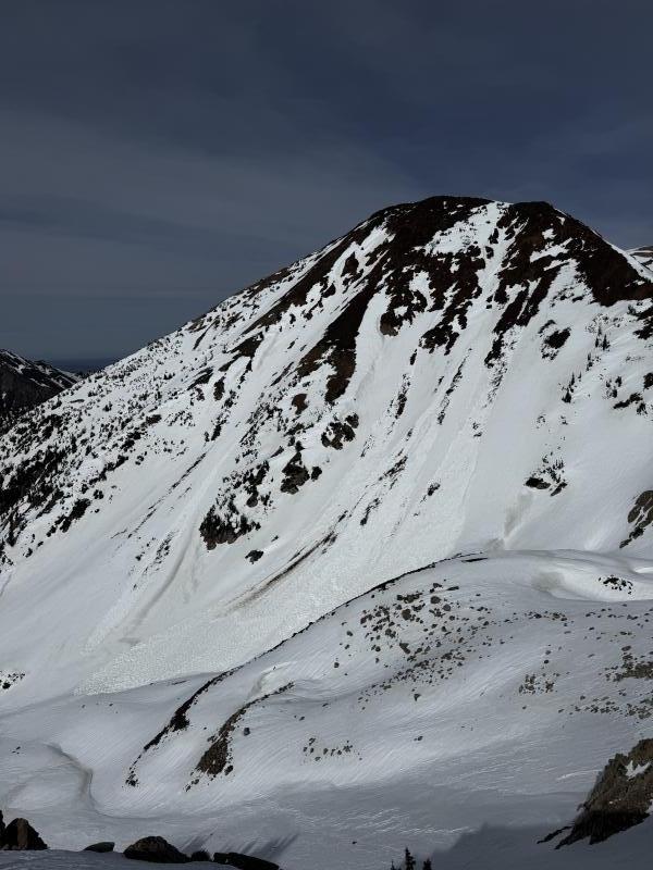
Upper Red Pine - Small and large (D1-D2) wet avalanches reported on SW aspect near 10,700'. Some of these were previously reported, some were more recent.

You can view all recent observations HERE.