Donate to the 2024 Spring Campaign to help rebuild the UAC website.

Forecast for the Salt Lake Area Mountains

Greg Gagne
Issued by Greg Gagne for
Tuesday, March 12, 2019
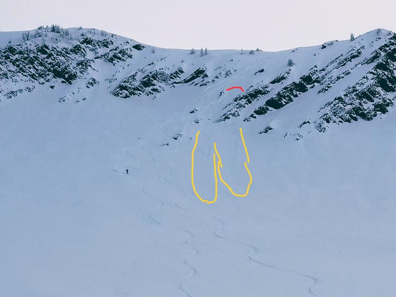
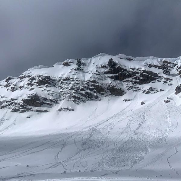
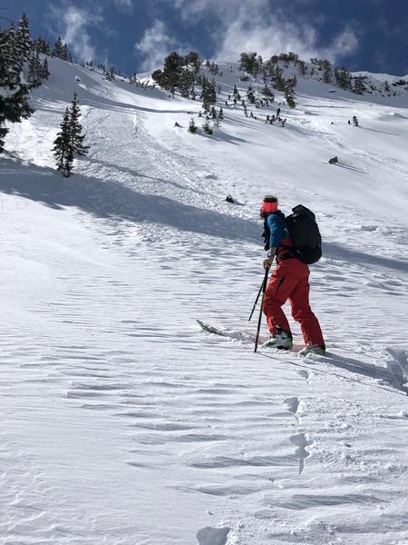
Timing is everything today. The avalanche hazard starts out generally Low, but will rise to at least Moderate with heating from the sun. This includes east, west, and south aspects as well as low elevation northerly aspects. Both wet loose and cohesive wet slab avalanches are possible. Sluffing and small wind and storm slabs are possible in steep, upper elevation northerly terrain.
Low
Moderate
Considerable
High
Extreme
Learn how to read the forecast here
Special Announcements
Chapter 5 in the LOW Danger series has been published. It's the first of two first-hand accounts of the Blue Ice avalanche from January 5th. One can find all the chapters in the Blog page in the menu above.
Chapter 6 in the LOW Danger series is now published. It's the second of two first hand accounts of the Blue Ice avalanche from January 5th.
Thanks to these two. These stories need to be told.

Enjoy spring skiing at Snowbasin Resort. The UAC has discount Snowbasin tickets available. INFO
Weather and Snow
Mountain temperatures this morning are generally in the teens, with a few stations in mid Big Cottonwood reporting temperatures in the 20’s F. Winds are out of the south/southwest and generally light, less than 10 mph, with gusts above 10,500’ in the teens and low 20’s mph. Skies are clear.
Soft, dry snow remains on northerly aspects above about 8500’where excellent riding conditions can still be found. All other aspects will be crusted.
Skies will be mostly clear today, but clouding up later in the afternoon. Winds will be out of the south/southeast and light in the low and mid elevations, averaging < 10 mph. At the upper elevations a few gusts may reach the 20’s mph. Temperatures will rise into the upper 20’s F in the upper elevations, and 30’s in the mid elevations; even warmer at the low elevations. Improving conditions as a cold and windy storm moves in overnight and into Wednesday. We can expect about a foot out of this system, with the highest amounts in areas favored by a northwest flow such as the upper Cottonwoods.
Recent Avalanches
In addition to wet loose activity on aspects facing east, south, and west, a couple pockets of recent storm snow were pulled out by skiers on Monday. These were on north and east aspects above 10,000' and 8" deep and up to 30' wide. This included Wolverine Cirque (observation) as well as Room of Doom in upper Mineral Fork (observation). The photo below from the Room of Doom highlights how even a small avalanche can have consequences in steep, rocky terrain.
Yesterday my partner and I encountered a sluff from recent storm snow that took out a portion of a skin track, leaving a sizable debris pile on the uphill side of trees (link to video).
You can read recent field reports - including avalanche activity - by visiting the observations page (link).
Ad
Avalanche Problem #1
Wet Snow
Type
Location
Likelihood
Size
Description
Aided by clear skies and light winds, the strong March sun will quickly go to work today and heat east, south, and west aspects, including shaded or northerly aspects below about 8000'. Although I am expecting most activity to be wet loose (such as Mark White's photo below from yesterday in Cardiff Fork), I also think cohesive slabs of damp/wet snow are possible, where these wet slabs could break out more widely and run on sun crusts that formed on Saturday. I do think the generally minor wet activity the past few days has slowly allowed the snowpack to adjust to warming, but today will be a more significant warm-up and I am expecting much more widespread wet activity - including larger avalanches - than the past two days. Move off of and out from underneath any steep slope once you see any sign of warming - such as rollerballs, natural wet sluffs, and unsupportable snow.
Cornices - Avoid traveling across or underneath corniced ridgelines as today's warming may make cornices reactive. (Bombard photo)
In 2016, Drew Hardesty presented on an analysis of Utah avalanche fatalities (link) at the ISSW workshop in Breckenridge, CO which mentions 5% of Utah avalanche fatalities involve cornice falls.
Avalanche Problem #2
New Snow
Type
Location
Likelihood
Size
Description
There was enough avalanche activity on Monday involving recent storm snow that warrants our continued attention on those mid and upper elevation northerly aspects where you will also find the best riding conditions. This includes sluffing in steep terrain (photo below), and pockets of denser storm snow or wind drifts in the higher terrain in the alpine (Trent has an excellent observation from Hogum Fork describing this). Yesterday I was finding recent instabilities within the top 2’ of snow to have largely settled out, but I would watch for areas where graupel has possibly pooled, such as below steeper cliff bands. This is pretty easy to evaluate with quick hand pits or pulling out your shovel - looking for the structure of a stronger slab over weaker snow (such as a denser slab on top of a layer of loose graupel.)
General Announcements
This information does not apply to developed ski areas or highways where avalanche control is normally done. This forecast is from the U.S.D.A. Forest Service, which is solely responsible for its content. This forecast describes general avalanche conditions and local variations always occur.