UDOT PLANNED AVALANCHE CLOSURES!!

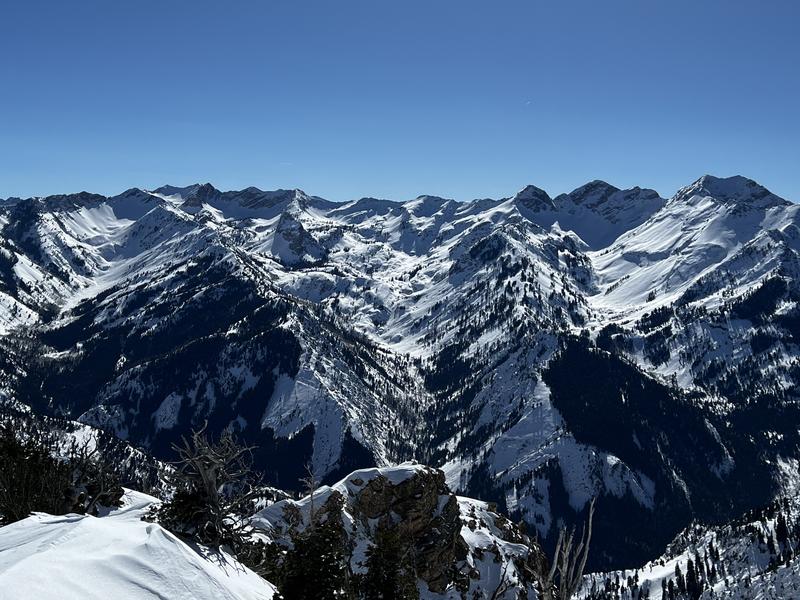
Forecast for the Salt Lake Area Mountains

Greg Gagne
Issued by Greg Gagne for
Friday, February 17, 2023
The avalanche danger is Low on all aspects and elevations.
Risk is inherent in mountain travel and the two concerns for today are:
1. pockets of reactive wind drifted snow, especially in steep, consequential terrain;
2. small avalanches involving wet snow due to warming.
Low
Moderate
Considerable
High
Extreme
Learn how to read the forecast here
Weather and Snow
Skies are partly cloudy and temperatures are a few degrees on either side of 20° F. Winds are from the southwest and light through the mid elevations with gusts in the 20's mph at 11,000'
For today, partly sunny skies with temperatures rising into the upper 20's and low 30's F. Winds will be from the southwest and remain light, with gusts in the 20's mph at the highest elevations.

This weekend will feature light snowfall overnight Saturday and into Sunday morning with a few inches expected. Although uncertainty remains (of course), things may get exciting beginning early this coming week with the potential for significant snowfall accumulations.

With excellent coverage throughout the range, now is a great time for exploring terrain, especially considering we may be entering a period of increasing avalanche danger by early this coming week.
Recent Avalanches
An avalanche involving wind-drifted snow at 5,600' at the mouth of Big Cottonwood Canyon just above the Bonneville Shoreline Trail was reported. The avalanche occurred late Wednesday or early Thursday morning and was likely triggered by wildlife.
Ad
Avalanche Problem #1
Wind Drifted Snow
Type
Location
Likelihood
Size
Description
There is widespread wind-affected snow at the mid and upper elevations with both soft and hard slabs of wind-drifted snow up to 12" thick. Yesterday, my partner and I found these wind drifts to be unreactive, however it is possible you could still find a reactive wind drift on any aspect above about 7,500'. On small slopes, these drifts should be nothing more than a nuisance. However, I would still avoid any wind-loaded slope in steep, consequential terrain.
General Announcements
This information does not apply to developed ski areas or highways where avalanche control is normally done. This forecast is from the U.S.D.A. Forest Service, which is solely responsible for its content. This forecast describes general avalanche conditions and local variations always occur.