Forecast for the Salt Lake Area Mountains

Trent Meisenheimer
Issued by Trent Meisenheimer for
Saturday, February 18, 2023
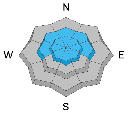
The avalanche danger is LOW on all aspects and elevations. Even though the avalanche danger is LOW I would still be on the lookout for pockets of reactive wind-drifted snow, especially in steep, consequential terrain where even a small avalanche can have a disastrous outcome.
Low
Moderate
Considerable
High
Extreme
Learn how to read the forecast here
Weather and Snow
Under partly cloudy skies, the mountain temperatures hover in the single digits in the valley bottoms and the low 20s °F across the mid to upper elevations. Prefrontal southwest winds picked up yesterday afternoon, and this morning they are currently blowing 15-25 mph across the upper elevation ridgelines.
West off the Oregon coast is a prominent high-pressure feature that will oscillate and regress westward over the next few days. As this high-pressure dome moves west, it allows a small storm to slip past the Zion Curtain and graze northern Utah overnight. As this storm approaches today, we can expect the southerly winds to continue to blow at speeds of 15-25 mph and mountain temperatures to rise into the upper 20s and low 30s °F. Later this afternoon, winds will eventually veer to the west and northwest, with an expected frontal passage this evening around 11:00 pm. We could see 3-7" of new snow by Sunday morning.
As this high-pressure bubble regresses west out to sea, it opens the door for a much larger and more robust storm system mid-week. This next storm will be measured in feet of snow if it all lines up.
Recent Avalanches
None
Ad
Avalanche Problem #1
Wind Drifted Snow
Type
Location
Likelihood
Size
Description
On Wednesday this week, the northeast winds ruined the powder party and checkered the landscape with hard, shallow wind slabs across all elevations. This morning the southerly winds picked up and are blowing 15-25 mph across the upper elevations. Even though these winds do not have a ton of snow available for transport, I am always impressed by what the wind can grab and transport.
It all comes down to terrain selection. Be willing to change your plans if the slope you're heading towards is more wind-drifted than you thought, and remind yourself that it's okay to change your plans based on new information you gather. The avalanche forecast is just a starting point.
Video showing some wind-drifting yesterday during my field day in the Ogden area.
General Announcements
This information does not apply to developed ski areas or highways where avalanche control is normally done. This forecast is from the U.S.D.A. Forest Service, which is solely responsible for its content. This forecast describes general avalanche conditions and local variations always occur.