Forecast for the Salt Lake Area Mountains

Dave Kelly
Issued by Dave Kelly for
Sunday, November 27, 2022
For today we have generally safe avalanche conditions.
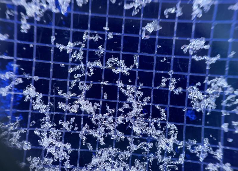
It may be possible to trigger an area of wind-drifted snow on the leeward side of terrain features or a loose dry avalanche on steeper northerly aspects.

With snow in the forecast, expect a rising avalanche danger.
We will begin to issue daily avalanche advisories with danger ratings on Monday November 28.
Low
Moderate
Considerable
High
Extreme
Learn how to read the forecast here
Special Announcements
Join the Utah Avalanche Center and the Division of Outdoor Recreation to celebrate the Fourth Annual Avalanche Awareness week, from December 4 - December 11. Click HERE to view the full list of events for the week.
Weather and Snow
The big news is that we're seeing a change in the weather pattern. Our partners at the NWS have issued a winter weather advisory from 5am Monday to 7pm Tuesday and are forecasting 6-12" of new snow with locally higher amounts in the Cottonwood Canyons.
Under mostly cloudy skies trailhead temperatures are in the high teens F and 11,000' ridgelines are in the single digits F. Northwest winds at the 9000' ridgelines in the teens (mph) and 11,000' ridgeline winds are gusting to the 30's (mph). Ski areas reported an inch of new snow overnight that should only improve the skiing.
For today, partly cloudy skies clearing midday. Temperatures 28-32 F. Winds at the 9000' ridgelines from the west southwest 15 gusting to 25 (mph) and at the 11,000' ridgelines west 35 gusting to 55 (mph) and increasing later this evening. Chance of increasing clouds and light snow late this evening.

Backcountry travel remains generally easy with good riding conditions on lower angle north-east facing slopes. Some wind and sun damage exists in the alpine and on solar aspects.
Snow depths are 3-4' in the upper reaches of the Cottonwoods and 2-3' along the Park City ridgeline. Ogden snow depths are 2-3' and the Provo area mountains have 1-2' of snow on the ground.
The last reported loose dry avalanche was from November 20th in Mill Creek and the surface snow has only become weaker since then. Observations over the last couple of weeks have included reports of weak faceted surface snow which will not bond well to this next storm. Knowing which aspects hold this current surface weakness will help with future terrain selection. An older patroller told me a long time ago that today's snow surface has the potential to be tomorrow's weak layer.

Photo of weak faceted near surface facets (Torrey)
From Ogden to the central Wasatch to the Provo mountains, we have received several excellent observations. You can find them HERE. Please keep these reports coming.
Ad
Avalanche Problem #1
Normal Caution
Type
Location
Likelihood
Size
Description
  • Human triggered avalanches are unlikely, although you may trigger avalanches in isolated areas.
  • Watch for shallow dry loose avalanches in steep upper elevation north through east facing terrain.
  • You may be able to find an isolated pocket of wind-drifted snow in exposed, upper-elevation terrain.

Remember, even a small avalanche can be consequential in steep terrain.
General Announcements

This information does not apply to developed ski areas or highways where avalanche control is normally done. This forecast is from the U.S.D.A. Forest Service, which is solely responsible for its content. This forecast describes general avalanche conditions and local variations always occur.