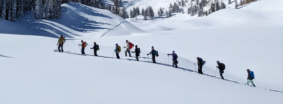
Each resort in Utah has its own policies regarding uphill travel. Check out the summary of each resort's policy before traveling uphill. For further questions, contact the resort directly.
SAVE THE DATE!
This morning, high clouds are moving in, a sure sign that weather is on its way. Temperatures are in the upper 20s F along the highest ridgelines and the mid-30s F at trailheads. Winds over the past 24 hours have been mostly from the east, peaking this morning with gusts up to 35 mph along the highest ridgelines.
A Pacific storm moves through the Cottonwoods today and wraps up by late Saturday. It starts out mild, with southwest winds bringing early precipitation and fairly high snow levels, so lower elevations may see some rain mixed in at first.
The main show arrives Saturday morning when a cold front pushes through, most likely between 6 and 11 AM, a bit later than earlier forecasts suggested. Expect a burst of heavy snow, with rates of 1 to 2 inches per hour or more for one to three hours. The front is unstable, so graupel and even a few lightning strikes are possible. By afternoon, the heavy snow breaks into scattered showers. All told, the Cottonwoods could pick up 5 to 10 inches of snow, with up to an inch of water.
Things dry out late Saturday through Monday, but the break is short. A quick, colder storm moves through Monday night into Tuesday night, with snow possibly reaching down to 5,000 feet or lower. After another short break Wednesday, a bigger storm likely arrives Thursday morning. The timing is still uncertain, but it looks like a slow-moving system that could bring on-and-off precipitation through the weekend.
So what does this mean for avalanches? The little snow we have is mostly on north-facing slopes above about 9,000 feet, and it’s weak, made up of crusts and loose, faceted snow. The only missing ingredient is a solid slab of new snow on top. That could arrive with this weekend’s storm, and it almost certainly may next week if the forecasts hold. It’s time to start treating steep terrain with caution.
Park City Snow Safety’s Adam Davis submitted an awesome observation from the PC ridgeline. His photo shows a sharp line between bare dirt and old snow, and that line matters. New snow falling on bare ground should bond well, but new snow landing on the old, weak snow is where avalanches will occur. Pay close attention to where that old snow sits as the storms roll in. Greg Miller and Dave Kelly also have a solid observation from the Cottonwood ridgeline above Silver Fork here.
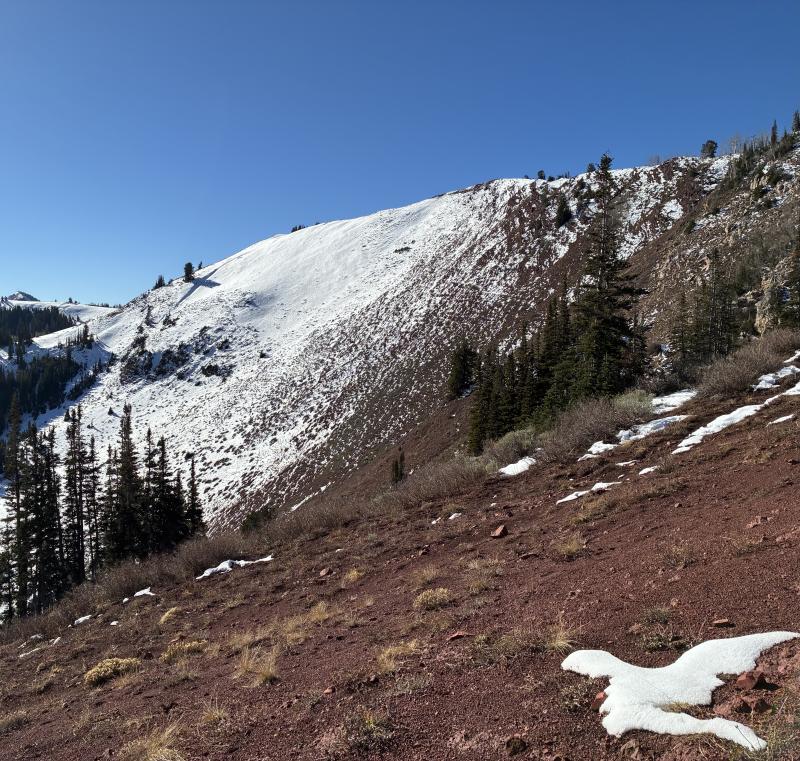
Photo: Adam Davis, PC ridgeline. Slopes holding old snow will be the ones to watch once the storms arrive.
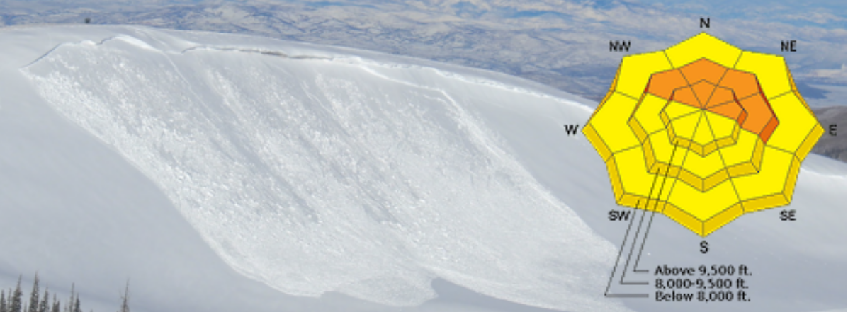
No recent avalanche activity.
If you’re getting out into the field, please submit your observations here.