Forecast for the Salt Lake Area Mountains

Mark Staples
Issued by Mark Staples for
Saturday, January 4, 2020
Today the avalanche danger is CONSIDERABLE at upper elevations where slabs of wind drifted snow are the main problem to look for and avoid.
The problem should be less severe at mid-elevations where the danger is MODERATE.
The danger is LOW at low elevations where avalanche conditions are generally safe.
Low
Moderate
Considerable
High
Extreme
Learn how to read the forecast here
Special Announcements
Get discount lift tickets HERE. Thanks for this generous support from Utah Ski Resorts and Ski Utah. All proceeds go directly to supporting the UAC.
New to the backcountry or in need of a refresher? Consider taking a companion rescue course offered at Woodward Park City, January 14, 5:30-9 p.m.
Weather and Snow
This morning temperatures have mostly warmed into the mid 20s F after dropping into the upper teens last night. At many lower elevation locations, temperatures are in the teens F. Winds eased since yesterday and this morning are blowing about 10 mph gusting to 15 mph from the SW. At 11,000 feet winds are gusting to 30 mph.
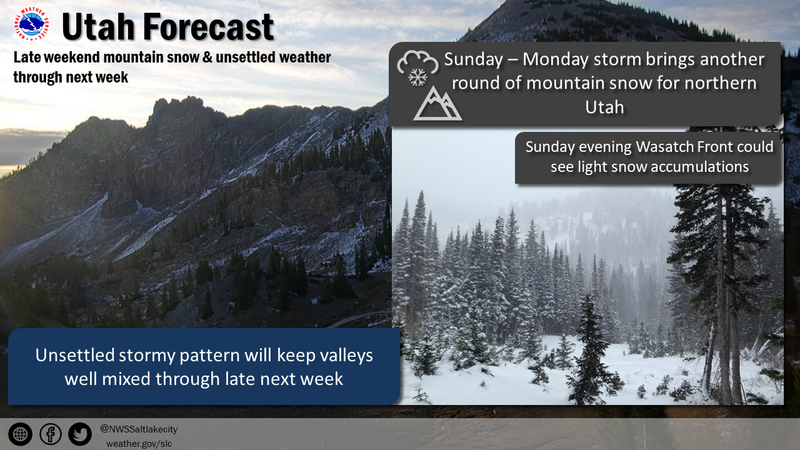
Today, a weak trough of low pressure will graze by northern Utah. Winds should increase some and blow 10-20 mph from the SW before shifting to the WNW. Skies should have high level clouds this morning with lower level clouds arriving this afternoon with a small chance for a few snowflakes to fall. Sunday afternoon should have accumulating snowfall that brings 5-11 inches by Monday.
Sunshine yesterday warmed south facing slopes which should have a thin ice crust on them this morning.

Our Week In Review which summarizes the weather and avalanche activity for this past week has been published.

Winds yesterday weren't as strong as they were during the storm, but they continued transporting some snow.
Recent Avalanches
Yesterday a few ski areas were able to trigger some slabs of wind drifted snow.
Most of these wind slab avalanches happened during and just after the New Year's storm. They failed in low density powder just under the dense New Year's snow. The widest breaking slides occurred on more southerly facing slopes near an ice crust that formed just before the storm. See Drew's observation from yesterday.
One slide was triggered yesterday on a southwest facing slope in upper Little Cottonwood Canyon that failed near this crust. This slide was about 18 inches deep and 60 feet wide.
Yesterday afternoon Trent and I checked out a massive natural avalanche in Tanner's Gulch in Little Cottonwood Canyon that happened very early in the morning of Jan 2 on a heavily wind loaded slope. While we don't expect similar avalanches today, it is a good reminder that lots of wind and lots of heavy snow is always a good recipe for avalanches.
Check out all of our observations and avalanches HERE.
Ad
Avalanche Problem #1
Wind Drifted Snow
Type
Location
Likelihood
Size
Description
Winds continued transporting snow yesterday even though they eased since the New Year's storm (video from the Park City ridgeline below). These winds will keep slabs of wind drifted snow sensitive to triggering today mainly at upper elevations with the strongest winds. Winds have been blowing mostly from the west and northwest but shifted to the southwest this morning. They will shift to the west-northwest today.
Overall this avalanche problem should be stabilizing but two things will keep it alive today. First is winds continuing to transport some snow. Second is a crust on southerly aspects that seems to have a thin layer of faceted snow above and below it. This layering will take a little longer to stabilize and should mainly be a problem where a wind slab rests on top of it.
The easiest way to deal with this problem is to look for signs of wind-blown snow so that you can avoid it. More info on recognizing this problem here.
Avalanche Problem #2
Persistent Weak Layer
Type
Location
Likelihood
Size
Description
This problem is a hard slab of snow about 3-5 feet thick resting a persistent weak layer of faceted snow which formed in October/November. It produced many avalanches during a Thanksgiving storm. Then avalanche activity slowly tapered off following storms in December that buried it deeply. The New Year's storm did not add enough stress to the snowpack to cause widespread avalanches on this layer. One ski area got a small pocket to release on this layer in a path that had previously avalanched and had a thinner snowpack. The massive avalanche in Tanner's may have broken on this layer but we don't know.
What now? This layer could produce avalanches in the future if we get a very large storm. For now, I basically wouldn't worry about it unless I were riding in very steep, rocky terrain above about 9500 feet.
Additional Information
General Announcements
This information does not apply to developed ski areas or highways where avalanche control is normally done. This forecast is from the U.S.D.A. Forest Service, which is solely responsible for its content. This forecast describes general avalanche conditions and local variations always occur.