Greg Gagne
Forecaster
Our Week in Review highlights significant snowfall, weather, and avalanche events of the previous week. (Click here to review the archived forecasts for the Salt Lake mountains.)
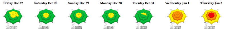
The danger roses for the Salt Lake mountains from Friday, December 27, 2019 through Thursday, January 2, 2020:
Summary: Cold and cloudy with light snowfall early in the period. The snow surface consists of loose, weak new snow that sluffs easily on steeper aspects. The persistent weak layer that is found at mid and upper elevation aspects facing northwest through east appears to be dormant for the time. A warm, wet, and windy storm enters the region on New Years Day, depositing a strong slab of snow on top of the weak snow at the surface. By Friday morning, storm totals include
Park City Ridge - 9" snow with 1" water
Upper Big Cottonwood 18" snow with 1.8" water
Mid Big Cottonwood 10" snow with 1" water
Little Cottonwood 22" snow with 2.5" water
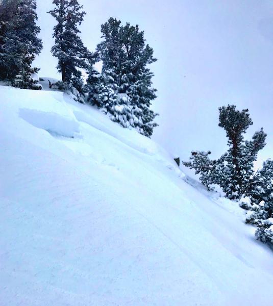
Friday December 27: Light snowfall and cold temperatures preserve the snow surface. Long-running sluffs in the low-density snow at the surface:

Saturday December 28: Winds pick up overnight, creating pockets of wind drifts at the upper elevations.
Sunday December 29: Continued cold temperatures and light snowfall preserve the 5-star riding conditions on all aspects. Sluffing in the snow surface continues to be reported.
Monday December 30: Continued sluffing at the surface is the only reported avalanche activity.
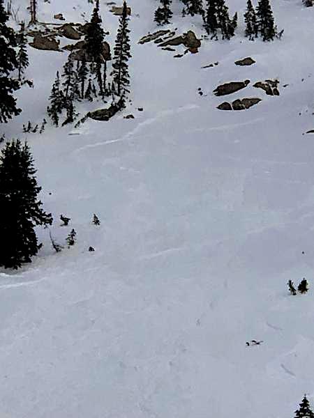
Tuesday December 31: The weak snow at the surface produces larger and longer-running sluffs:
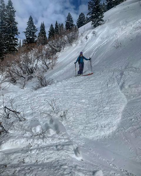
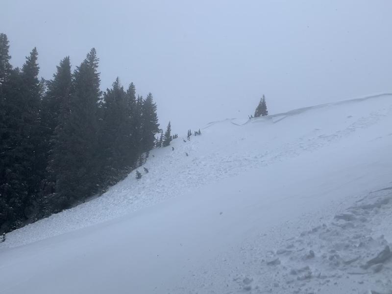
Wednesday January 1: A storm system enters the region overnight and into Wednesday morning. Although only 3-6" of dense snow fell during the day, the strong winds from the south/southwest create sensitive wind slabs along upper elevation ridgelines. Several wind drifts were triggered remotely, such as this one along the Park City ridgeline (Brackelsberg)
Thursday January 2: Continued snowfall overnight with strong winds. Natural avalanche cycle in Little Cottonwood Canyon overnight. Avalanche danger rises to High. Remotely-triggered slides on southeast aspects loaded from northwest winds (photo and video below). Control work on south-facing aspects by UDOT in Little Cottonwood Canyon produces large avalanches, some over a half-mile wide.