Join the UAC, Weston Backcountry, Utah Mountain Adventures, and more vendors this Sunday, January 29 for the Brighton Beacon Bash near the Milly Chalet from 9 am to 4 pm. Beacon practice, backcountry ski and board demos, and much more! Click
HERE for more info.
Temperatures range through the teens and winds are from the west/northwest. Below about 10,000', wind speeds are generally light with gusts in the teens. But things change above 10,000' with winds gusting into the 20's mph. At 11,000', winds are averaging in the 40's with gusts into the 50's mph. A trace of snow fell overnight.
For today, temperatures will climb into the 20's with light snow throughout the day. Snowfall rates will increase mid-afternoon with 3-4" of new snowfall expected by sunset. Below about 10,000', the west/northwest winds will remain light with gusts into the teens. Between 10-11,000' winds will gust into the 20's, with gusts in the 50's mph at 11,000'. There is the potential for very strong winds along upper-elevation ridgelines with gusts up to 80 mph.
Life in the snow globe continues with heavy snowfall overnight into Saturday, with storms totals potentially exceeding 12" in the upper Cottonwoods by later Saturday. Another storm Sunday afternoon into Monday.
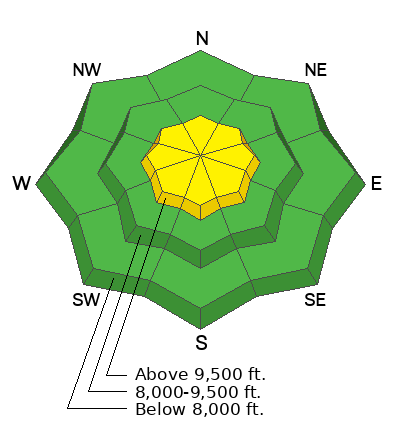
Aspects facing south and southwest have a thin sun crust underneath any new snow.
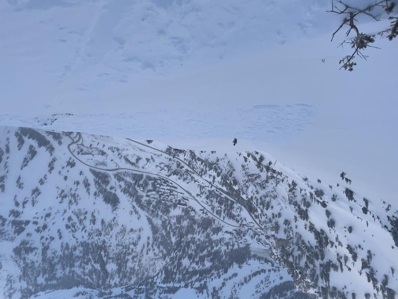
On Thursday, observers were finding pockets of sensitive wind drifted snow at the upper elevations. The most notable avalanche involved a catch-and-carry on a Southeast aspect on Little Superior at 10,300'. This involved a fresh wind drift up to 18" thick where the rider was carried for 60' before coming to a stop on top of the snow surface. The avalanche continued for another 800' vertical. Huge thanks to the party involved for the
excellent writeup, description, and photos, including the photo below.
Glide cracks are visible in areas of
Broads Fork, including Bonkers and Stairs Gulch. Open glide cracks can lead to full-depth glide avalanches, though the timing between the initial appearance of a crack and an actual glide avalanche can be anywhere between seconds and months. Glide avalanches are unlikely to be triggered by a person, but natural failures are very challenging to predict. Practice safe travel techniques of exposing only one person at a time while traveling underneath these open cracks.