Forecast for the Salt Lake Area Mountains

Trent Meisenheimer
Issued by Trent Meisenheimer for
Saturday, January 28, 2023
The avalanche danger is CONSIDERABLE across all upper elevations, for sensitive slabs of wind-drifted snow and human-triggered avalanches are likely, and natural avalanches are possible. Across mid-elevation terrain, there is a MODERATE avalanche danger for wind-drifted snow. In either case, avalanches could be 1-2 feet deep and up to 150 feet wide. I would look for and avoid any slope that has been or is actively being loaded by the wind.
Low
Moderate
Considerable
High
Extreme
Learn how to read the forecast here
Special Announcements
Join the UAC, Weston Backcountry, Utah Mountain Adventures, and more vendors this Sunday, January 29 for the Brighton Beacon Bash near the Milly Chalet from 9 am to 4 pm. Beacon practice, backcountry ski and board demos, and much more! Click HERE for more info.
Weather and Snow
It's snowing, with mountain temperatures ranging from 10-20 °F. Winds are steady from the west-northwest blowing 10-25 mph with gusts into the 30s across most of the upper elevation ridgelines. Closer to 11,000', the winds are west-northwest, blowing 35-45 mph, gusting into the 50s. I think some anemometers are rimed this morning and are not showing the true wind speeds.
In the past 24 hours, we've picked up a pretty even blanket of new snow totaling 6-12 inches containing 0.61-0.90 inches of water. However, upper Big Cottonwood Canyon is winning the race with 24 hr snow totals closer to 17 inches with 1.40 inches of water.
The Winter Weather Advisory continues today, and we can expect an additional 2-5 inches of new snow throughout the day. Snow will eventually become more isolated and showery as the day wears on. Mountain temperatures will climb into the low 20s °F, and winds will remain from the west-northwest and blow 10-25 mph with gusts into the 30s across most of our upper elevation terrain. Above 10,000' winds will be stronger and blow northwest 25-35 mph with gusts into the 50s. Another round of snow is on tap for Sunday with extremely cold temperatures.
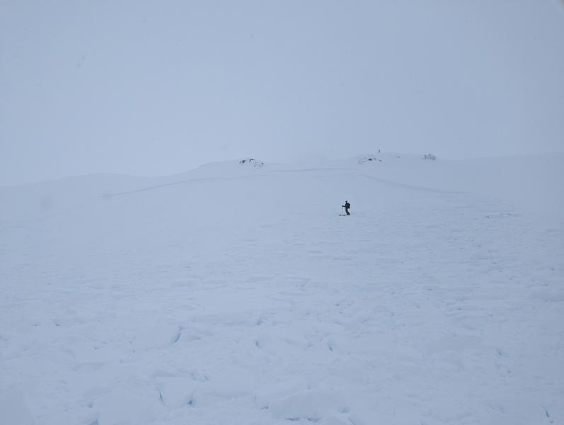
Riding and turning conditions: Epic!
Recent Avalanches
No new avalanches were reported in the Central Wasatch yesterday. However, one avalanche that caught my eye was in Bunnlles drainage in Provo, where a skier triggered a wind slab that caught and carried them a short distance. The slab was 2 feet deep and 150 feet wide. Thankfully everyone was okay. (Photo: Bunnells, Reeves)
Ad
Avalanche Problem #1
Wind Drifted Snow
Type
Location
Likelihood
Size
Description
For the past 24 hours, the west-northwest winds have been blowing steady at 10-25 mph across the mid and upper elevations. Wind and plenty of new snow to blow around have created sensitive slabs of wind-drifted snow. These wind slabs could be anywhere from 1-2 feet deep and 150 feet wide, as seen from the avalanche in Bunnells yesterday. These wind drifts have been isolated recently, but with steady wind speeds from the west-northwest, I expect these drifts to be deeper and more widespread today.
Look for and avoid slopes that are actively being loaded by the wind. Thick, dense snow, chalky hard snow, wavy textured snow, and cracking or collapsing are all signs of wind-drifting or unstable snow, and these clues should be a warning sign to the backcountry traveler.
New snow instabilities could include shallow soft slabs within the new snow 6-12 inches deep. However, this instability should settle rapidly this morning as the peak precipitation intensity (heavy snowfall) is about over. Use small test slopes or shovel tilt tests to see how the new snow reacts before committing to steeper, more consequential terrain. Watch for dry-loose avalanches (sluffs) as you ride.
General Announcements
This information does not apply to developed ski areas or highways where avalanche control is normally done. This forecast is from the U.S.D.A. Forest Service, which is solely responsible for its content. This forecast describes general avalanche conditions and local variations always occur.