Join us for the 17th Annual Professional Snow and Avalanche Workshop (PROSAW) on November 4 - Purchase tickets here!

Forecast for the Salt Lake Area Mountains

Trent Meisenheimer
Issued by Trent Meisenheimer on
Saturday morning, January 22, 2022
Areas of MODERATE avalanche danger exist in the upper elevations where sensitive wind drifts up to a foot deep are possible. Some of these drifts may be triggered at a distance. Loose dry snow (sluffing) is also expected in the steepest terrain.
A MODERATE avalanche danger also exists on southerly facing slopes for wet-loose avalanches as the sun heats the new snow.
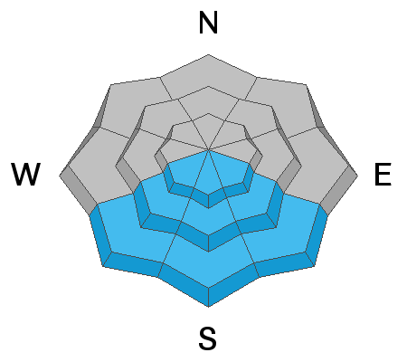
Low
Moderate
Considerable
High
Extreme
Learn how to read the forecast here
Special Announcements
Thanks to the generous support of our local resorts and Ski Utah, discount lift tickets are now available. Support the UAC while you ski at the resorts this season. Tickets are available here.
Weather and Snow
Under clear skies, the current mountain temperatures range from 12°-16°F with some valley bottoms in the single digits °F. Overnight at 11,000', there was a seven-hour period where the northeast winds blew 15-20 mph across the uppermost terrain. This morning, the winds continue to be from the northeast but thankfully aren't blowing away our precious 2-4" of new snow. Most upper elevation anemometers are currently spinning 10-15 mph with the occasional gust into the 20's.
Today, we will see plenty of sunshine with temperatures warming into the 30°-35°F range at 8,500'. Winds are forecast to remain light and from the northeast. It's amazing how 2-4" of new snow will improve the riding and turning conditions.

Greg Gagne's patented Week in Review is published and can be found HERE>
Recent Avalanches
Yesterday we had a few reports of small soft wind slabs triggered off upper elevation ridges. Most of these wind drifts were 6-12 inches deep 50 feet wide and didn't run very far. Riders also reported that the new snow would sluff easily in the steep terrain. You can find all observations HERE.
Ad
Avalanche Problem #1
Wind Drifted Snow
Type
Location
Likelihood
Size
Description
Two to four inches of new snow can easily be blown into wind drifts eight to twelve inches thick. These drifts are being blown onto a variety of slick or weak snow surfaces (near surface facets or surface hoar) and maybe surprisingly sensitive to the weight of a rider. They may also be triggered from a distance. Collapsing and shooting cracks are common signs of instability.
Note that the drifts will be primarily limited to the higher elevations, but any terrain with fresh drifts of wind-blown snow should be treated with caution or avoided.

Loose-dry avalanches (sluffing) should be expected in the steep terrain.
Avalanche Problem #2
Wet Snow
Type
Location
Likelihood
Size
Description
The steep southerly terrain will likely go through a small wet-loose avalanche cycle as the day heats. While we only have 2-4 inches of new snow, this new snow now sits on a very stout crust and could easily slide, running long distances and entraining a lot of snow on the way down the hill. As the day heats up and the new snow becomes damp, I avoid being in the steep southerly terrain.
General Announcements
Who's up for some free avalanche training? Get a refresher, become better prepared for an upcoming avalanche class, or just boost your skills. Go to https://learn.kbyg.org/ and scroll down to Step 2 for a series of interactive online avalanche courses produced by the UAC.
This information does not apply to developed ski areas or highways where avalanche control is normally done. This forecast is from the U.S.D.A. Forest Service, which is solely responsible for its content. This forecast describes general avalanche conditions and local variations always occur.