Join us for the 17th Annual Professional Snow and Avalanche Workshop (PROSAW) on November 4 - Purchase tickets here!

Forecast for the Salt Lake Area Mountains

Drew Hardesty
Issued by Drew Hardesty on
Friday morning, January 21, 2022
Areas of MODERATE danger exist in the upper elevations where sensitive wind drifts up to a foot deep are possible. Some of these drifts may be triggered at a distance. Loose snow sluffing is also expected in the steepest terrain. The danger is LOW at the low and mid elevations.
Low
Moderate
Considerable
High
Extreme
Learn how to read the forecast here
Special Announcements
Thanks to the generous support of our local resorts and Ski Utah, discount lift tickets are now available. Support the UAC while you ski at the resorts this season. Tickets are available here.
Weather and Snow
Snowfall began a little before midnight and we're up to 2-4" (0.2-0.4" SWE) in the central Wasatch. We may squeeze another inch or two out of this system yet.
Temperatures are in the single digits and low teens. Winds are light from the northwest except along the highest elevations where we're seeing hourly averages of 20-30mph with gusts to 45.
As the storm moves through, winds will shift north and then northeast and we'll see cool bitter winds of 15-20mph from those directions. Temps will be in the upper teens and low 20s. Clouds will thin and we'll see mostly and then partly cloudy skies by the afternoon. High pressure builds back in for the weekend with a weak storm slated for Monday night. I'm not seeing much on the horizon until the turn of the month. We'll see.

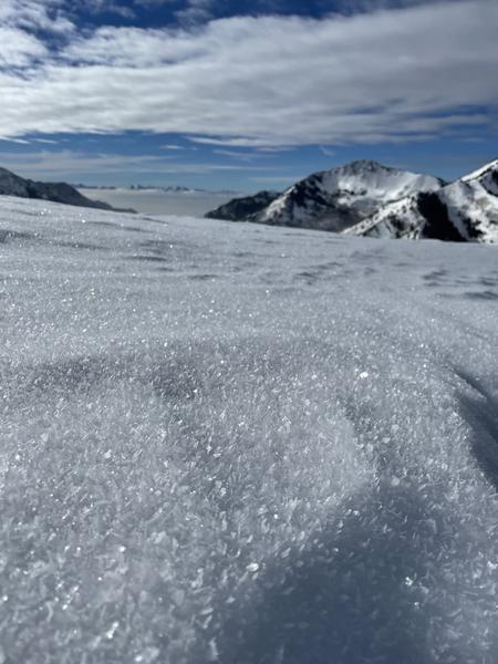
Skiing and riding conditions have been a little rugged of late and these few inches will do wonders for those with their cups half full. Low angle protected* slopes are recommended.
(*protected as in not wind drifted. See below.)

Greg Gagne's patented Week in Review is published and can be found HERE>
Recent Avalanches
None.
Ad
Avalanche Problem #1
Wind Drifted Snow
Type
Location
Likelihood
Size
Description
Four to six inches of new snow can easily be blown into wind drifts eight to twelve inches thick. These drifts are being blown onto a variety of slick or weak snow surfaces (note Chris Brown observation and photo below of fairly widespread surface hoar) and may be surprisingly sensitive to the weight of a skier or rider. They may also be triggered from a distance. Given the highly variable pre-existing snow surfaces, it'll be wise to anticipate sensitive conditions and foolish to extrapolate conditions from slope to slope, even slopes on similar aspects. Collapsing and shooting cracks are common signs of instability.
Note that the drifts will be primarily limited to the higher elevations but any terrain with fresh drifts of wind blown snow should be treated with caution and/or avoided.
Avalanche Problem #2
New Snow
Type
Location
Likelihood
Size
Description
Sluffing of the new snow is expected on all aspects in the steepest terrain this morning. In confined and sustained terrain features, even 4-6" of new can pile up deeply, especially in terrain traps.
General Announcements
Who's up for some free avalanche training? Get a refresher, become better prepared for an upcoming avalanche class, or just boost your skills. Go to https://learn.kbyg.org/ and scroll down to Step 2 for a series of interactive online avalanche courses produced by the UAC.
This information does not apply to developed ski areas or highways where avalanche control is normally done. This forecast is from the U.S.D.A. Forest Service, which is solely responsible for its content. This forecast describes general avalanche conditions and local variations always occur.