Observation Date
1/20/2022
Observer Name
CBrown
Region
Salt Lake » Big Cottonwood Canyon » Butler Fork
Location Name or Route
Butler Fork
Weather
Sky
Clear
Wind Direction
Southwest
Wind Speed
Calm
Weather Comments
Calm to light winds from SW barely noticeable on 9,400' ridgelines. CLR most of day w/ period of SCT around 1200-1300. Smog level rising to 9,200' in afternoon.
Snow Characteristics
Snow Surface Conditions
Powder
Faceted Loose
Wind Crust
Melt-Freeze Crust
Snow Characteristics Comments
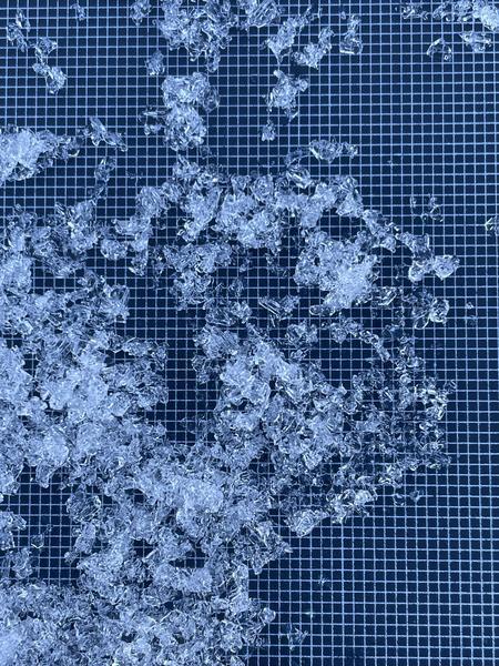
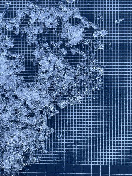
Firm MF on southerlies w/ thin layer of FCsf, weak faceted loud powder of northerlies. Surface hoar found from 7,200-9,400' (all elevations observed) NW-N-E everywhere (3-5mm), also on <25* southerlies (did not observe steeper southerlies to see if SH present). Up to ~10cm of FCsf on northerlies.
Red Flags
Red Flags
Poor Snowpack Structure
Red Flags Comments
Weak snow surface with incoming storm. Poor snowpack structure found on BCC/Millcreek divide.
Avalanche Problem #1
Problem
Persistent Weak Layer
Problem #1 Comments
Found poor structure on BCC/Millcreek divide. 8,900' N HS 130cm (probing showed 105-175cm in general area), 10cm FCsf (SH), 90cm 1F-P hard slab above 30 cm of dry, angular 2-4mm FC (limited rounding), ECTX.
Comments
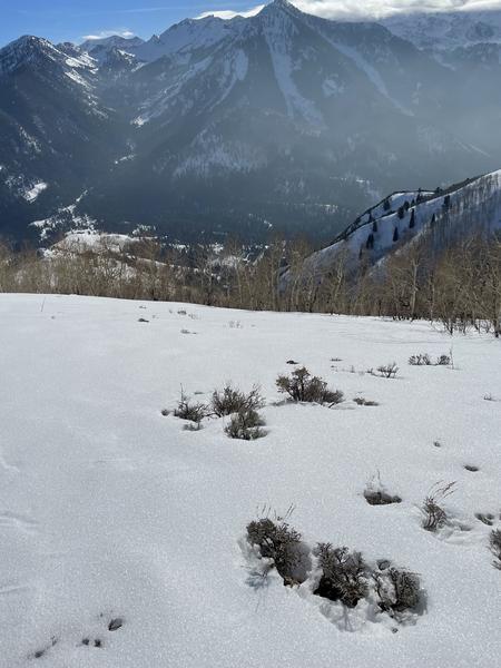
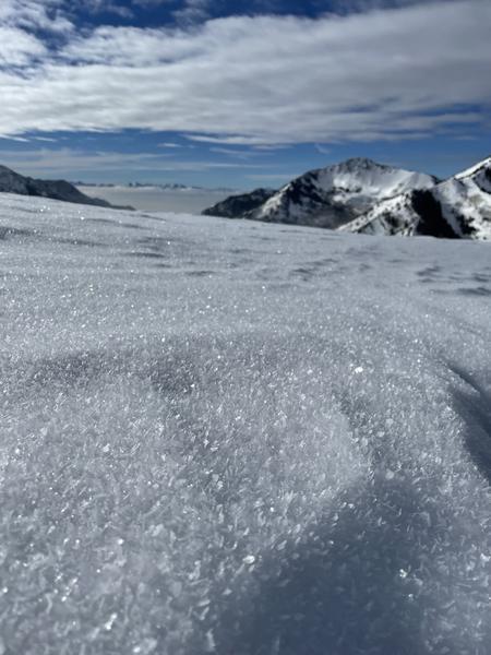
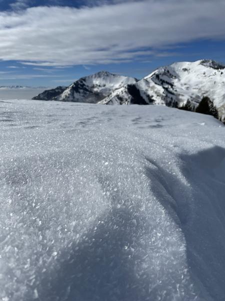
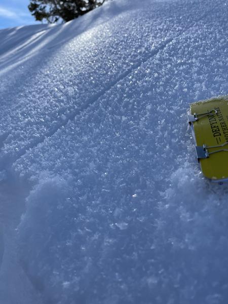
FCsf and SH could be a problem if buried and preserved. Even with wind I fear SH in many protected areas may not be destroyed before being buried and preserved. Seems much more widespread than I initially thought/hoped. FCsf on crusts on southerlies. Photo 1 SH on low angle souths, Photo 2,3 SH along 9,400' ridgeline, Photo 4 surface conditions at 8,900' N, Photo 5,6 basal FC found at 8,900' N.
Today's Observed Danger Rating
None
Tomorrows Estimated Danger Rating
None
Coordinates