Greg Gagne
Forecaster
Our Week in Review highlights significant snowfall, weather, and avalanche events of the prior week. (Review the archived forecasts for the Salt Lake mountains.)
The danger roses for the Salt Lake mountains from Friday, January 14 through Thursday, January 20:

Summary: High pressure extends for another week and the avalanche danger drops to Low. The persistent weak layer (PWL) is dropped as an avalanche problem as the PWL has become dormant.
On Sunday, Nikki Champion went to the UFO Bowls in the Provo mountains and describes the current state of the snowpack and what we can expect going forward:
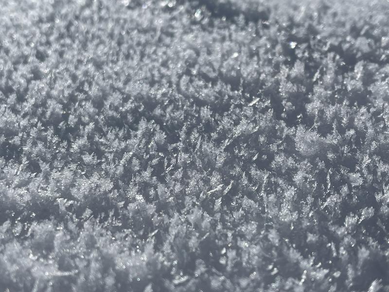
Many observers noted the weakening snow surface with surface and near-surface facets, such as this photo of surface hoar by Chris Brown on Mount Wolverine:

On Wednesday, very light precipitation with some timing was noted on the snow surface. Drew describes this from his field day on Wednesday, January 19:
With weak snow at the surface on many slopes, it will be important to watch if this weak layer gets preserved ahead of any future storms.


