Forecast for the Salt Lake Area Mountains

Evelyn Lees
Issued by Evelyn Lees for
Saturday, January 19, 2019
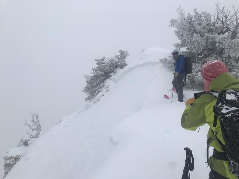
The Avalanche Danger remains HIGH on all upper elevation slopes, CONSIDERABLE on all mid elevation slopes, and MODERATE on all low elevation slopes. Avoid all travel in avalanche terrain - which is slopes steeper than about 30 degrees and travel below steep slopes and avalanche runout zones. Today’s wind and warming temperatures will keep the snow unstable.
Those with excellent avalanche and route finding skills will find an untracked wonderland of snow on low angle, wind sheltered slopes with excellent turning conditions.
Low
Moderate
Considerable
High
Extreme
Learn how to read the forecast here
Avalanche Warning
AN AVALANCHE WARNING CONTINUES FOR THE MOUNTAINS OF NORTHERN UTAH, TO INCLUDE THE BEAR RIVER RANGE, THE WESTERN UINTAS, AND THE ENTIRETY OF THE WASATCH RANGE THROUGH 5 AM MST SUNDAY. THE AVALANCHE DANGER IS HIGH...HUMAN TRIGGERED AVALANCHES ARE LIKELY ON ALL STEEP SLOPES. DANGEROUS AVALANCHE CONDITIONS CONTINUE...CREATED BY THE SNOW AND WIND FROM PREVIOUS STORMS. AVOID BEING ON OR UNDERNEATH STEEP SLOPES.
Special Announcements
A search is resuming this morning for a skier buried in a large avalanche around 5 pm yesterday by Electric Lake, on the Manti/Skyline Plateau. The skier is not wearing a beacon. Preliminary accident report here. Brett and Mark will be at the accident scene today, and the accident report will be updated as they get more details.
Weather and Snow
The Thursday/Friday storm was measured in feet - 2 to 3 feet of snow along the Park City ridgeline, and 3 to 4 feet in the Cottonwoods, with a water content of 2 to 4 inches. Strong winds blew from the southwest and northwest. The snow has settled, and low angle turning is now good.
This morning, clouds are increasing, and temperatures cold - in the single digits and low teens. The westerly winds picked up in the past few hours - averaging 15 to 20 mph, with gusts across the high peaks 40 to 50 mph. Winds speeds will remain elevated through late morning, before decreasing this afternoon. Temperatures will warm into the upper 20s to mid 30s, and an inch or two of snow is possible today.
Recent Avalanches
Yesterday, the resorts had widespread large avalanches releasing with explosives, with north and northeasterly facing slopes the most active. In the backcountry, avalanche activity was around the compass, including naturals on El Rollo and West Scotts. In upper Neffs at 9,600', there were slides on southeast and southwesterly facing slopes, running on the old pre storm crusts.
New snow was sensitive at the lower elevations, too.
Photo below: upper Neffs, 9,600', a west/southwest facing slope.
Low elevation Mineral Fork road bank, 7,000' . There is wet snow beneath the new snow.
Ad
Avalanche Problem #1
Wind Drifted Snow
Type
Location
Likelihood
Size
Description
The southwesterly winds are strong enough this morning to drift the snow into another layer of sensitive wind slabs. The old, but still dangerous wind drifts from Thursday are now hidden, but could still produce large, soft and hard slab avalanches 2 to 3 feet deep and hundreds of feet wide on many aspects at the mid and upper elevations. Drifts are to the lee of ridgelines and cross-loaded into couloirs and gullies and may be triggered at a distance or break above you.
Unstable storm snow may still be reactive to the weight of a person on steep slopes of all aspects and elevations, even in wind sheltered areas.
For today, avoidance is key and sticking to low angle terrain (less than 30°) with nothing steep above or adjacent to you, is the only tool in the tool box for safety.
Avalanche Problem #2
Persistent Weak Layer
Type
Location
Likelihood
Size
Description
We have overloaded the various faceted, sugary weak layers in our snowpack. You can trigger a deep slide on one of these layers on a steep slope, especially with a shallow snow pack. Also, any shallower, new snow slide or triggered wind drift may “step down”, breaking on one of these deeper weak layer, resulting in a large, dangerous slide.
For today, avoidance is key and sticking to low angle terrain (less than 30°) with nothing steep above or adjacent to you, is the only tool in the tool box for safety.
Avalanche Problem #3
Wet Snow
Type
Location
Likelihood
Size
Description
Today, we have rapidly warming temperatures. If we see any periods of strong sunshine, you can expect the snowpack on the sunny aspects and lower elevations to warm rapidly and begin to avalanche. The crux however, will be the cloud cover for today. The clouds could cover the sky just enough that we won't see warming of the snow surface. If you're traveling in sunlit terrain today, keep an eye on the snow surface and look for visual clues like roller balls and wet loose sluffs. If you're seeing this it's time to change your aspect to a more shady one
Additional Information
General Announcements
This information does not apply to developed ski areas or highways where avalanche control is normally done. This forecast is from the U.S.D.A. Forest Service, which is solely responsible for its content. This forecast describes general avalanche conditions and local variations always occur.