Forecast for the Salt Lake Area Mountains

Trent Meisenheimer
Issued by Trent Meisenheimer for
Thursday, January 10, 2019
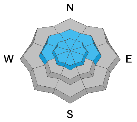
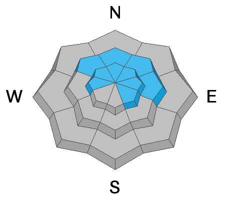
Today, the avalanche danger is MODERATE on all steep upper elevation slopes as well as mid elevation west through east facing terrain for triggering new drifts of wind blown snow. There remains a MODERATE danger for the possibility of triggering a larger and deeper avalanche that breaks (1-3' deep) into faceted snow at the upper elevation west through southeast facing terrain and mid elevation northwest through east facing terrain. Evaluate snow and terrain carefully, and identify features of concern. Human triggered avalanches are possible.
Low
Moderate
Considerable
High
Extreme
Learn how to read the forecast here
Special Announcements
Drew Hardesty just released the first UAC podcast of the 2018/2019 season about "Guilt". As always Drew's insights are inspiring and thought provoking. Check it out HERE. Can't wait to see what else he has up his sleeve for this season.
Weather and Snow
This morning, we will see increasing clouds ahead of a very weak storm system that will cross Northern Utah this afternoon. Southerly winds are currently blowing 20-25 mph gusting into the 40's across the high elevation ridge lines. Lose some elevation and winds are more reasonable and in the 10-15 mph range. Current mountain top temperatures hover in the mid 20's °F. Temperatures will be dropping throughout the day as the weak cold front slices overhead early afternoon. Winds are expected to die down later in the afternoon and switch to the northwest and we can cross our fingers for a trace to 2" of snow by tomorrow morning. Sigh.
In Mark White's observation yesterday he used the words " windjacked, inverted, slabby and sustrugi all come to mind" to described the snow surface. Some riders found soft settled powder in between the wind board and stiffer snow on the wind protected shady slopes. The sunny slopes will have a crust this morning that will likely not soften with today's winds and cooling temperatures.
Recent Avalanches
No new avalanche activity was reported from the backcountry yesterday. Find the list of all observations HERE.
Ad
Avalanche Problem #1
Wind Drifted Snow
Type
Location
Likelihood
Size
Description
The southerly winds has been relentless over the past 24 hrs. Average wind speeds across the high elevations have been in the 20-25 mph range gusting into the 30's and 40's. This has created fresh drifts of wind blown snow off the ridge lines and well down into the mountain valleys. Winds in the mountains often swirl around in the terrain and can cross load gullies, adjacent sub ridges and mid-slope break overs. Watch for and avoid being on any hard drifts of wind blown snow in any steep terrain today. These wind slabs have the potential to bury a human.
Avalanche Problem #2
Persistent Weak Layer
Type
Location
Likelihood
Size
Description
I've been left scratching my head with the SLC area mountains. If you take your shovel out and dig you'll notice three distinct layers of faceted snow within the snowpack, depending on your location.
  • Old snow at the ground from back in October. Gaining strength and becoming a thing of the past.
  • Mid-December faceted snow that was buried over the Christmas Holiday - Still a concern.
  • The Christmas storm snow. This was the snow surface that was recently buried from the Sunday/Monday storm. Just after the new year the snow surface became weak and sugary from cold temps and clear nights - Still a concern.
In my travels I was finding the most concerning layer of faceted snow to be the old snow surface and the snow just underneath the Christmas storm snow, both now buried roughly (1-3' deep). It's easy to find and see in the snowpack. For now, I simply can't justify getting onto steep wind loaded terrain just yet, because of these faceted layers. I would continue to give these layers time to adjust. The most likely place you could trigger a slide breaking into weaker snow would be mid-elevation northwest through east facing terrain and upper elevation west through southeast facing terrain. Especially, a shallow, steep, rocky slope that has been recently loaded by the wind.
General Announcements
This information does not apply to developed ski areas or highways where avalanche control is normally done. This forecast is from the U.S.D.A. Forest Service, which is solely responsible for its content. This forecast describes general avalanche conditions and local variations always occur.