Forecast for the Provo Area Mountains

Greg Gagne
Issued by Greg Gagne for
Tuesday, March 5, 2019
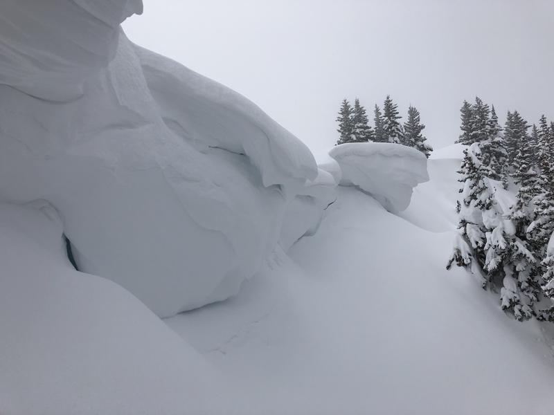
The day begins with a generally Low hazard, which will rise to Moderate as the day warms where wet, loose avalanches are possible on solar aspects as well as on all aspects at the lower elevations. Increasing westerly winds will create pockets of fresh wind drifts on upper elevation aspects facing north through southeast. Sluffing in the dry loose snow remains possible on steep northerly slopes at the mid and upper elevations. A very warm, wet, and windy storm will raise the avalanche hazard over the next few days. Human triggered avalanches remain possible in thinner snowpack areas or areas that have avalanched previously this winter. Extra caution is advised in this terrain.
Low
Moderate
Considerable
High
Extreme
Learn how to read the forecast here
Special Announcements
Highway 189 at Deer Creek Dam in Provo Canyon will have intermittent closures from 10am until 11:30am this morning for avalanche artillery testing.
Announcement: Join Drew Hardesty at 7PM on Wednesday, March 6 at Rocksteady Bodyworks in SLC for an interactive discussion on the State of the Snowpack.
The latest podcast is out. In this episode, we sit down with Ian McCammon. Ian has done as much for the avalanche community as nearly anyone over the past 20 years and recently received the highest award given by the American Avalanche Association. Tune in -
Weather and Snow
Currently: Temperatures range throughout the 20 F. and winds are westerly and generally light, averaging less than 10 mph with gusts in the teens.
Today: Skies will become partly to mostly cloudy, with increasing winds, especially by later in the day. Temperatures will rise into the 30's at low and mid elevations, and mid to upper 20's F at the upper elevations. Winds will be out of the southwest, and generally light through midday. But will begin to increase this afternoon, averaging in the teens with gusts in the 20's. Strong winds with snow developing overnight, with a rain snow line initially between 7000' and 7500'.
This Week: Warm, wet, and windy. Heavy dense snow on a southwest flow through Thursday. Upwards of 1-2' of snow is possible, containing about 2" of water. (It's possible the models are under-forecasting water amounts.) A brief break around Friday with a colder storm early in the weekend. The pattern generally looks favorable through at least the next 7-10 days with a series of systems moving through from time to time, with no dominant ridges of high pressure. March is, after all, our wettest month!
Recent Avalanches
We received no observations from the Provo mountains on Monday. Due to greenhousing, the Provo mountains experienced something of a wet loose avalanche cycle on Sunday in the mid/low elevations, and I wouldn't be surprised if there was additional wet loose avalanche activity on Monday. Look for evidence of wet debris under steep slopes today. There will likely be more today.
The best current state of the snowpack in the Provo mountains was from this excellent observation from Drew Hardesty and Zinna Wilson from Saturday in the UFO Bowls.
Ad
Avalanche Problem #1
Wet Snow
Type
Location
Likelihood
Size
Description
Warming temperatures today will generate the usual round of wet loose activity on steep solar aspects facing southeast through west. Cold, dry snow on northerly aspects at the low elevations may also become active if it dampens from greenhousing (where cloud cover traps warming). Any loose, wet avalanches will be both skier-triggered as well as natural. With so much snow in starting zones on all aspects, be sure to avoid being below steeper runouts on southerly aspects and low elevation northerly aspects the snow warms.
Learn more about Dry Sluffs and Wet Sluffs in the Avalanche Problem Toolbox.
Avalanche Problem #2
Persistent Weak Layer
Type
Location
Likelihood
Size
Description
The Provo mountains have had a number of large avalanche cycles in January and February with many avalanches stepping down into early season or mid-December snow layering 3-8' deep. These avalanches were predominantly in the upper elevation (or wind loaded ridgelines in the mid-elevation) north through southeast facing slopes both along the Cascade ridgeline, Timpanogos, and in the upper American Fork drainages (Mill Canyon Peak environs).
These areas that avalanched remain susceptible to continued avalanching in the upper elevations that have seen significant snow and wind. The large avalanches in the UFO Bowls north of Aspen Grove (from the 3rd week of February) did not seem to have enough of a new load yesterday but will be something to watch with additional storms this week.
Note: assessing these slopes individually requires a high degree of skill and experience and risk....and may still produce some uncertainty. A very conservative approach is required if traveling in the avalanche terrain of Provo.
Avalanche Problem #3
Wind Drifted Snow
Type
Location
Likelihood
Size
Description
Winds are forecasted to increase as the day progresses, creating pockets of fresh wind drifts along leeward aspects facing northwest through southeast at the upper elevations. These drifts may be particularly sensitive as they will be forming on top of weaker dry/loose snow that fell late this past weekend.
Cornices remain a significant concern along mid and upper elevation ridgelines. Some cornices overhang the slope 10-20', and increasing winds over the next several days will make them even larger. Stay well back from and avoid traveling underneath corniced ridgelines. Today's sun and warmth may make these cornices more sensitive.
General Announcements
This information does not apply to developed ski areas or highways where avalanche control is normally done. This forecast is from the U.S.D.A. Forest Service, which is solely responsible for its content. This forecast describes general avalanche conditions and local variations always occur.