UDOT PLANNED AVALANCHE CLOSURES!!

Forecast for the Provo Area Mountains

Trent Meisenheimer
Issued by Trent Meisenheimer on
Saturday morning, March 29, 2025
The avalanche danger will remain MODERATE until the wet snow has fully frozen. Wet slab avalanches and cornice falls will remain possible today.
Low
Moderate
Considerable
High
Extreme
Learn how to read the forecast here
Special Announcements
Our Spring Campaign is in full swing, and there are two great ways to support forecasting, awareness, and education across Utah: Donate to our Spring Campaign, or Bid on items in our Spring Auction. Every dollar donated helps keep the backcountry community on top.
Weather and Snow
Under partly cloudy skies, the mountain temperatures range from 30 to 37°F. The wind is blowing from the west-northwest at speeds of 5-10 mph with gusts close to 20. Today, we have a small storm that should cross into northern Utah late this morning. The chance for the heaviest snowfall will be during the frontal passage sometime this afternoon. The wind will pick up out of the west-northwest as the storm approaches, blowing 5-15 mph with gusts into the 20s and 30s. Unfortunately, Provo will only get a trace to maybe a couple of inches of new snow.
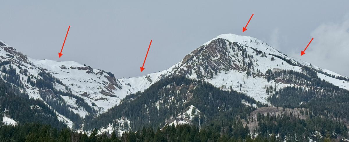
The meltdown from the past week of strong sunshine and warm temperatures has taken its toll on the mountains. Today, the snow surface will be frozen, and I imagine the riding conditions are pretty horrendous until we see a few inches of new snow.
Recent Avalanches
Both Kellys were in American Fork yesterday, and you can read their observations HERE. You can find all observations HERE.
Ad
Avalanche Problem #1
Wet Snow
Type
Location
Likelihood
Size
Description
Drew Hardesty classically once said, "The glue is yet to dry." Wet snow avalanches will remain possible today as the snowpack cools. I am not worried about wet-loose avalanches as the snow surface is likely frozen this morning. However, if you dig down just a couple of inches into the snowpack, you will see the snowpack is still wet and gooey and hasn't realized the colder temperatures just yet. The potential for wet slab, cornice fall, and glide avalanches will continue to be a problem today until the snowpack freezes solid.
  • Wet slab avalanches - happen where meltwater may "pool" and weaken the snow at various crust interfaces.
  • Cornices may collapse naturally, possibly triggering an avalanche on the slope below (see photos below.)
Trend: Decreasing Danger
General Announcements
This information does not apply to developed ski areas or highways where avalanche control is normally done. This forecast is from the U.S.D.A. Forest Service, which is solely responsible for its content. This forecast describes general avalanche conditions and local variations always occur.