Donate to Our Spring Campaign or Bid on our Spring Auction to Support Forecasting

Forecast for the Provo Area Mountains

Nikki Champion
Issued by Nikki Champion on
Monday morning, March 24, 2025
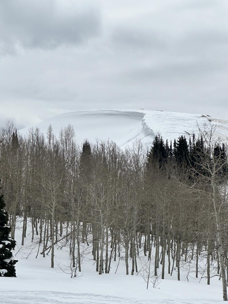
There is MODERATE avalanche danger today, with human-triggered wind-drifted snow avalanches possible on steep slopes (35°+) at mid and upper elevations. Wet snow avalanches are likely on east-, south-, and west-facing slopes, as well as in low-elevation north-facing terrain.
Timing is key—avalanche danger increases as the sun heats the snow. Steep gullies on south- and west-facing aspects will be the most likely spots for naturally triggered wet snow avalanches, which could involve people. Avoid traveling underneath avalanche paths, even on dry hiking trails, this afternoon.
Start early, monitor for signs of warming, and exit solar slopes before they become unstable. Be prepared to adjust your tour plan based on your observations throughout the day. With such high temperatures and a poor overnight refreeze avalanche danger could even rise to CONSIDERABLE by the afternoon.
Low
Moderate
Considerable
High
Extreme
Learn how to read the forecast here
Special Announcements
Our Spring Campaign is in full swing, and there are two great ways to support forecasting, awareness, and education across Utah: Donate to our Spring Campaign, or Bid on items in our Spring Auction. Every dollar donated helps keep the backcountry community on top.
Wednesday, March 26 will be action-packed with two great events happening in Salt Lake and Park City! Join Craig Gordon at Park City Brewing at 6pm for a State of the Snowpack and look back at the low tide season we've had. RSVP here! Looking to travel light and fast through terrain, but still be safe? Join the UAC's Director Emeritus Chad Brackelsberg and guide Billy Hass at Chappell Brewing in Salt Lake for an engaging presentation and open discussion on smart packing strategies and the risks we take. Sign up here!
Weather and Snow
This morning, skies are clear with temperatures ranging from the mid-30s to low-40s°F. Overnight lows did not dip below freezing in all locations. Winds are out of the west-northwest at 10-15 MPH, with gusts in the 20s and low 30s at lower ridgelines and 30 MPH, gusting into the 50s, at the highest peaks.
Today, skies will be partly sunny, with temperatures climbing into the mid 50s°F. The most notable change will be above-freezing temperatures potentially reaching the higher peaks and ridges, especially later in the afternoon. Northwest winds will continue at 5-10 MPH, gusting to 15 MPH on lower ridgelines, and 20-30 MPH with gusts up to 40 MPH at the highest elevations. Some of the highest ridgelines are already seeing gusts exceeding the forecast. This pattern played out throughout the day yesterday and could repeat again this morning. Expect strong gusts at the highest elevations. Winds should be strongest this morning, gradually decreasing through the day.
Looking ahead, significant warming is expected through at least Wednesday or Thursday, with cooling to follow.
Recent Avalanches
Yesterday, there were no new avalanches reported for the Provo area mounatins. Just to the north, in the Salt Lake area backcountry, several soft slabs and one hard slab were triggered, with a mix of rider involvement across various terrain features, along with both natural and human-triggered cornice falls.
You can check out all recent observations and avalanches HERE.
Ad
Avalanche Problem #1
Wet Snow
Type
Location
Likelihood
Size
Description
The March sun is strong. Regardless of air temperature or wind speed, expect wet loose avalanches, roof slides, and a gloppy snow surface on easterly, southerly, and westerly aspects, as well as low-elevation north-facing slopes.
Avalanche danger will rise through the day and may even reach CONSIDERABLE for wet snow avalanches by this afternoon. As the likelihood increases, natural wet snow avalanches will be possible on steep south- and west-facing terrain later in the day.
Timing is key—get off steep, sunlit slopes before they become unstable. These avalanches can impact more than just your group, so stay aware of others traveling above or below you. Even a small slide could entrain a lot of snow today.
Avalanche Problem #2
Wind Drifted Snow
Type
Location
Likelihood
Size
Description
Winds at the highest elevations have remained strong for days, still gusting near 80 MPH this morning. They’re expected to stay elevated through the morning before hopefully decreasing.
The winds continue building both soft and hard wind slabs, which will grow larger and more cohesive through the day. While most prominent on leeward south- to east-facing slopes, strong winds can load any aspect and drift snow farther downslope than expected. Check the avalanche heat map—recent slides highlight how unpredictable mountain winds can be, loading steep slopes across many aspects at mid and upper elevations.
Today, wind drifts will be more stubborn, allowing you to get farther onto a slope before they potentially break above you. This is a bigger concern in extreme, no-fall terrain like hanging snowfields and exposed gullies.
Use caution in steep terrain where drifting snow has accumulated. Watch for signs of instability like cracking, collapsing, fresh cornice growth, or pillowy features. If you see any of these, avoid traveling on or beneath wind-loaded slopes. Cornices are growing larger and are more likely to fail in high winds or warming temperatures—give them a wide berth.

Large looming cornice from Snake Creek
Additional Information
What happened to the persistent weak layer (PWL)? We encourage you to take the time to read this blog post discussing the PWL and how it may return.
General Announcements
This information does not apply to developed ski areas or highways where avalanche control is normally done. This forecast is from the U.S.D.A. Forest Service, which is solely responsible for its content. This forecast describes general avalanche conditions and local variations always occur.