Forecast for the Provo Area Mountains

Issued by Dave Kelly on
Sunday morning, March 23, 2025
Sunday morning, March 23, 2025
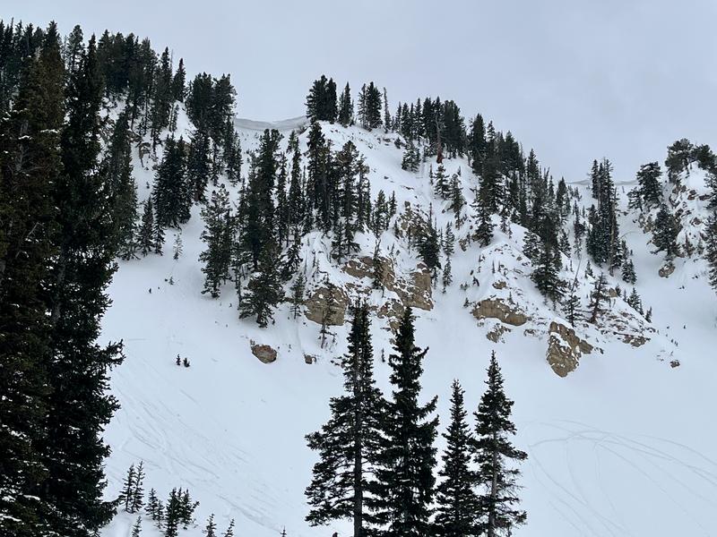
There is a MODERATE avalanche danger today where it will be possible for humans to trigger wind-drifted snow avalanches in steep (greater than 35°) mid and upper elevation terrain. Wet snow avalanches will be likely on east-south-west facing slopes and in low elevation northerly facing terrain.
Today's wet snow problem is matter of timing, avoid steep slopes during daytime warming, as all of the recent storm snow will become damp and come down the mountain. Steep gully features facing south and west are prime places for humans to be involved with naturally-triggered wet snow avalanches. These wet snow avalanches could be long running, starting as dry snow and turning wet as they make their way downslope.
Avoid traveling underneath avalanche paths, even on dry hiking trails this afternoon.

Low
Moderate
Considerable
High
Extreme
Learn how to read the forecast here