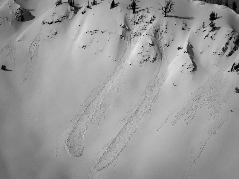
Greatest Rain on Earth?!?: Forecaster Drew Hardesty penned a new essay about high-elevation rain and the warm-snow drought HERE.
Weak Snow: Today's Surface, Tomorrow's Avalanche Problem: Essay by UAC Director Paige Pagnucco HERE.
Currently, the skies are clear. Temperatures are inverted. Most sites above 7000 feet saw overnight lows in the mid-30s °F. This creates a very short window for supportable and safer travel on sunny slopes. Overnight, winds blew from the WNW at 10–20 mph.
Today, we'll see increasing cloud cover, with daytime temperatures climbing a few degrees higher than yesterday, into the upper 40s °F. The wind will be light, 5-10 mph out of the west this morning, and will back to the SW and increase to 10-25 mph this afternoon.
Looking ahead: We will start to see a change in the weather on Monday as a storm moves across northern Utah. We could see a few snowflakes, but accumulation doesn't look to begin until Tuesday or Wednesday. There is still a wide range in potential snowfall, but some accumulation is likely, and the weather looks to remain active through late next week and beyond.
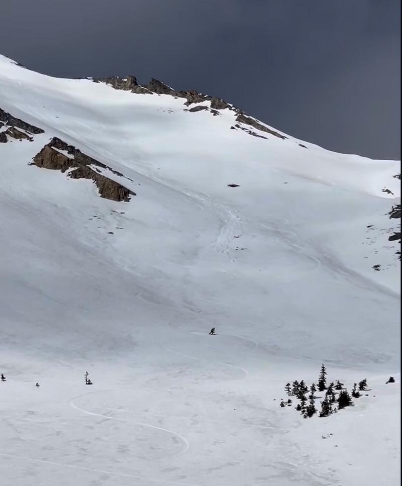
- Provo Peak: Yesterday, while descending an east-facing slope around 10,300 feet, a rider triggered a small, wet-loose avalanche. Note: These avalanches will be easier to trigger and produce larger, deeper, debris piles today.
You can view recent observations here.