Greatest Rain on Earth?!?: Forecaster Drew Hardesty penned a new essay about high-elevation rain and the warm-snow drought HERE.
Weak Snow: Today's Surface, Tomorrow's Avalanche Problem: Essay by UAC Director Paige Pagnucco HERE.
Skies are clear.
With the ridge axis shifting to the east, winds have backed to the south (blowing from the south), blowing 10-15mph with gusts to 20. Mountain temperatures are currently in the upper 30s to low 40s.
For today, we'll have temperatures rising to the mid to upper 30s up high, the mid to upper 40s down low. It won't be quite the scorcher as it was yesterday, but we'll see increasing high and then mid-level clouds that might lead to greenhousing in select terrain. Mild weather follows for the weekend ahead of a cold front slated for Monday afternoon. I think it's a bit too early to say that the wicked witch is dead, but all signs point to a pattern change early next week. I mean, it might even snow.
Conditions remain thin with difficult travel at the low and mid-elevations. Bo Torrey ventured up to Box Elder via Tibble Fork yesterday and his excellent report is HERE>
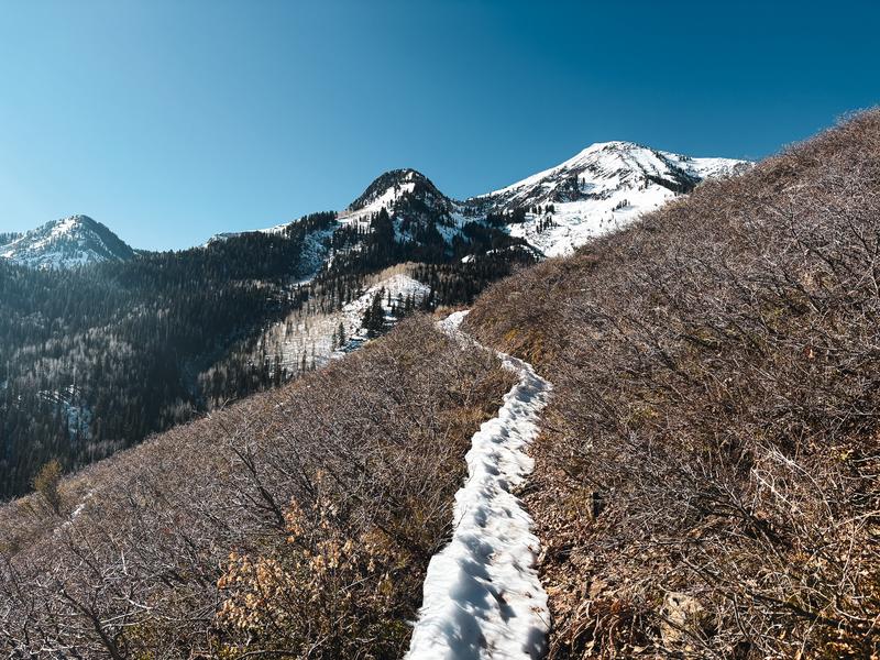
The long and winding 'white brick road' to Box Elder, Bo Torrey
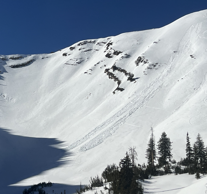
With direct sun and scalding temperatures, skiers and riders were able to trigger wet loose sluffs, particularly on south and east facing slopes yesterday. Some sluffs ran a few hundred feet and were large enough to bury a person, particularly in a terrain trap. Note the sluff taking out an older skin track in the south fork.
Despite the lack of interesting weather, we continue to receive thoughtful and interesting observations.