UDOT PLANNED AVALANCHE CLOSURES!!

Forecast for the Provo Area Mountains

Greg Gagne
Issued by Greg Gagne for
Friday, February 24, 2023
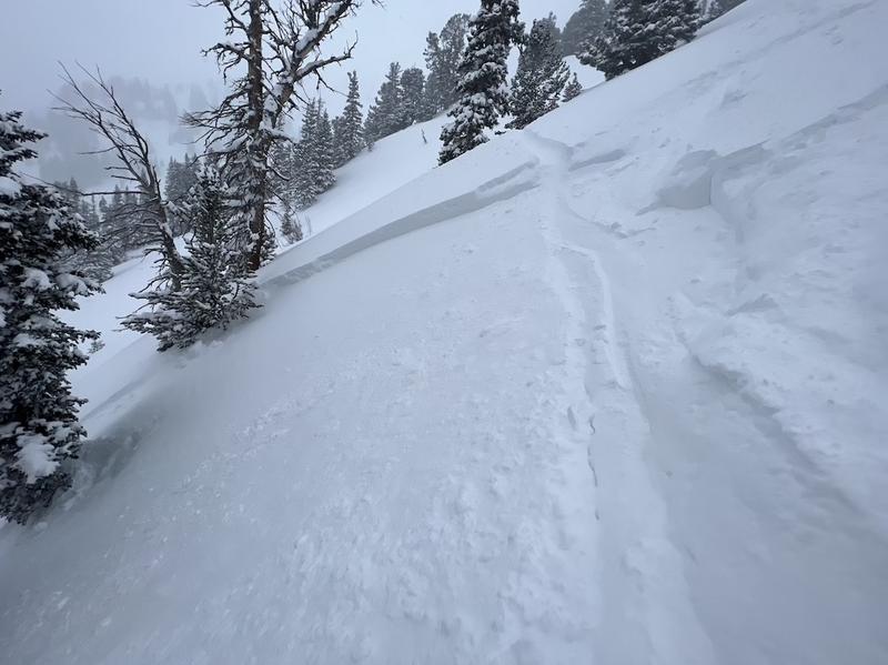
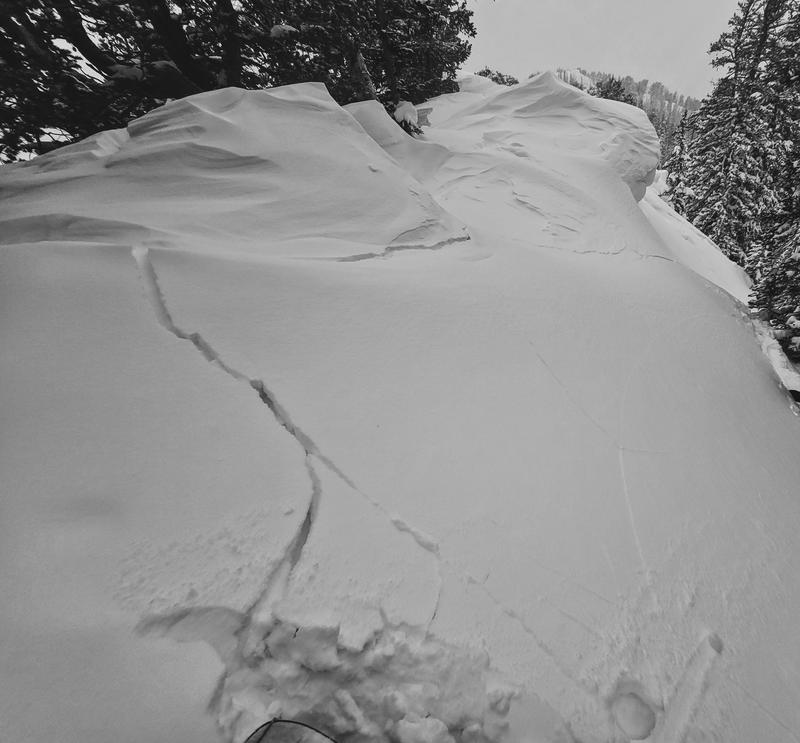
The avalanche danger is CONSIDERABLE at the mid and upper elevations and MODERATE at the low elevations on wind-loaded slopes where triggering avalanches up to 2' deep is likely.
Careful snowpack evaluation, cautious route-finding, and conservative decision-making are essential when traveling in avalanche terrain today.

Shallow, wet-loose avalanches are likely on southerly aspects if strong sunshine appears.
Low
Moderate
Considerable
High
Extreme
Learn how to read the forecast here
Weather and Snow
Temperatures this morning are in the mid teens and winds are from the south/southwest and moderate, gusting into the 20's mph along exposed mid and upper-elevation summits and ridgelines. Snowfall totals overnight are 2-4" of low-density fluff.
For today, temperatures will rise into the low to mid 20's F. Winds will be from the southwest, gusting into the upper 20's and upper 30's mph at mid and upper elevations, respectively. We should pick up another few inches of snow this morning with clearing skies this afternoon.
In the extended forecast, Saturday will be sunny with warmer temperatures. Snowfall begins on Sunday with active weather expected for most of the upcoming week.

Storm totals since Tuesday (snow/water)
Provo 36"/3.3"
Cottonwoods 34-42"/2.5-2.8"
Park City Ridgeline 36"/2.3"
Ogden 39"/3"
Adjectives do not capture just how good the riding conditions are.
Recent Avalanches
No avalanches were reported from the Provo mountains on Thursday. To our north, eight natural and human-triggered avalanches we reported from the Salt Lake mountains on Thursday. These occurred at elevations between 6,500' to 10,000' on all aspects, were 1-2.5' deep and up to 200' wide where most slides involved wind-loaded slopes.
In no particular order:
Pioneer Ridge in the Brighton Backcountry - 18" deep 70' wide 10,000' N-facing
Ricardo's Roll in the Silver Fork Meadows - 2.5' deep 60' wide 9,000' E-facing
CSR in Days Fork - 2' deep 50' wide 9,600' E-facing (photo below)
Lucky Days in Days Fork (Rider caught and carried) - 8,600' East 12" deep 50' wide 8,600' E-facing
Kessler/Argenta - 8" deep 50' wide 9,900' N-facing
Little Willow Canyon - 16" deep 150' wide 7,600' N-facing
Black Mountain (above City Creek) - 12" deep 150' wide 6,500' W-facing
Lookout Peak (Emigration Canyon) - 18" deep `100' wide 8,400' S-facing
Ad
Avalanche Problem #1
Wind Drifted Snow
Type
Location
Likelihood
Size
Description
Avalanche activity on Thursday was focused on slopes that had sensitive soft slabs of wind-drifted snow from recent northwest and southwest winds. Avalanche activity occurred at elevations between 6,500' and 10,000', and although most avalanches occurred on leeward slopes facing east and north, slides were also reported on slopes facing south and west. UDOT avalanche forecasters reported widespread wind-transported snow during the day Thursday, and a period of stronger winds Thursday evening have likely created additional fresh wind drifts. Watch for cracking as evidence of wind-drifting, as show in the photo below from Argenta yesterday.
You can still expect to find sensitive soft slabs of wind-drifted snow on all aspects at the mid and upper elevations as well as exposed low-elevation terrain.
Avalanche Problem #2
New Snow
Type
Location
Likelihood
Size
Description
Although I'm expecting recent storm snow instabilities to have mostly settled out, there may still be isolated areas where you can find a soft slab of storm snow that is reactive to a rider. Shallow, long-running sluffs in the low-density snowfall from overnight are also likely.
IF strong sunshine appears this afternoon, shallow, wet-loose avalanches are likely on steep southerly-facing aspects.
General Announcements
This information does not apply to developed ski areas or highways where avalanche control is normally done. This forecast is from the U.S.D.A. Forest Service, which is solely responsible for its content. This forecast describes general avalanche conditions and local variations always occur.