Forecast for the Provo Area Mountains

Greg Gagne
Issued by Greg Gagne for
Friday, December 8, 2023
The avalanche danger is CONSIDERABLE on upper elevation aspects facing northwest through north and southeast. The avalanche danger is MODERATE at the mid elevations and upper elevation aspects facing west and south. There is a LOW avalanche danger at the low elevations.
Low
Moderate
Considerable
High
Extreme
Learn how to read the forecast here
Weather and Snow
This Morning: As of 6 am, 4" of snow has fallen in the Provo mountains. Temperatures are in the low 20's F and winds are from the west/northwest, averaging in the teens with gusts in the 20's and 30's mph at mid-elevations, and averages in the 30's mph and gusting into the 50's mph at the upper-most elevations.
Today: A Winter Storm Warning has been issued for the Wasatch Mountains through 11 pm tonight, with periods of snow on a cold, northwest flow, delivering 2-4" by nightfall. Temperatures will rise into the in the low 20's F. and the gusty northwest winds will average in the teens and 20's mph with gusts into the 30's mph at mid elevations. Wind speeds at the upper elevations will average in the 20's and 30's while gusting into the 50's mph.
This Weekend: We'll squeeze out a few additional inches of snow overnight, and the weekend will feature cold temperatures, partly-sunny skies, and light to moderate winds from the west/northwest.
Recent Avalanches
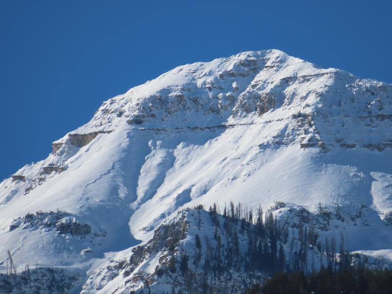
The last reported avalanche from the backcountry occurred on Wednesday where a skier remotely-triggered (that is, triggered the avalanche from a distance) a wind slab in Radar Love Bowl, along the Park City Ridgeline, on a Northeast aspect at 9700’. This slab broke 18" deep and up to 125' wide, failing on the persistent weak layer down near the ground.
There are several excellent observations and photos from the natural avalanche cycle that occurred this past weekend.
Ad
Avalanche Problem #1
New Snow
Type
Location
Likelihood
Size
Description
The new snow will be reactive today, especially during any period of heavy snowfall. Gusty northwest winds may also create sensitive soft slabs along exposed ridges at the mid and upper elevations.
Watch for signs of cracking or sluffing in the new snow as indication of sensitive conditions.
Avalanches in the storm snow will be 4-8" deep, although they may break down several feet deep on northerly-facing slopes where there is a buried persistent weak layer. Read more below.
Avalanche Problem #2
Persistent Weak Layer
Type
Location
Likelihood
Size
Description
The base of the snowpack on mid and upper elevation slopes facing west/north/east and upper elevation southeast aspects consists of weak, faceted snow. This weak layer was responsible for the large avalanche cycle from last weekend through Wednesday's remotely-triggered avalanche in Radar Love Bowl.
Although this weak layer has become less sensitive, recent wind-loading and heavy snowfall today will further stress this buried weak layer. Any avalanche that fails on this weak layer will be 2-6' deep and several hundred feet wide. I continue to avoid being on, underneath, or adjacent to slopes 30 degrees or steeper on aspects where this persistent weak layer is present.

This photo shows the depth and width of avalanches that fail on this buried persistent weak layer.
General Announcements
This information does not apply to developed ski areas or highways where avalanche control is normally done. This forecast is from the U.S.D.A. Forest Service, which is solely responsible for its content. This forecast describes general avalanche conditions and local variations always occur.