Most ski areas are now closed to uphill travel as they open or prepare to open for winter operations. Resort uphill travel policies can be found
HERE.
There is a beautiful book, written by the French aviator Antoine de St. Exupéry, called Wind, Sand, and Stars. Part of it details a time when his plane crashed in the Libyan desert. I think it was 1935. With little water between them, it wasn’t long until he and his navigator began experiencing visual and auditory hallucinations. Mirages appeared on the landscape, though they were always just out of reach. It’s a little like looking at the weather models these days…
Skies are clear. With a building ridge of high pressure, we'll have sunny skies, light northwest winds and warming temperatures through the weekend and into the early part of the week. Tranquil. A storm appears on the horizon for mid-week, but I suspect it will pass to the northeast of us. The weather models hint at a pattern change by the end of the month.
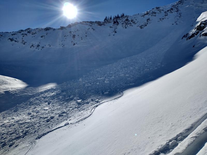
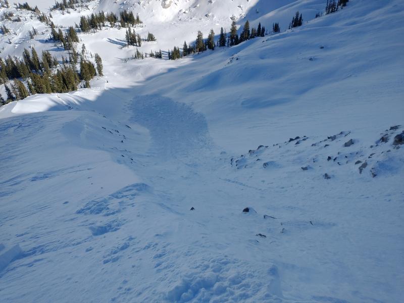
In the meantime, backcountry travel is easy and riding conditions remain quite good for mid-November. I recommend low angle grassy slopes. Some wind and sun damage exist in the alpine and on the solar aspects, respectively, but sheltered aspects hold soft recrystallized snow. Snow depths in the Provo mountains are 1-2'.
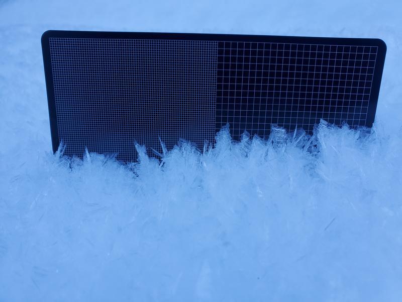
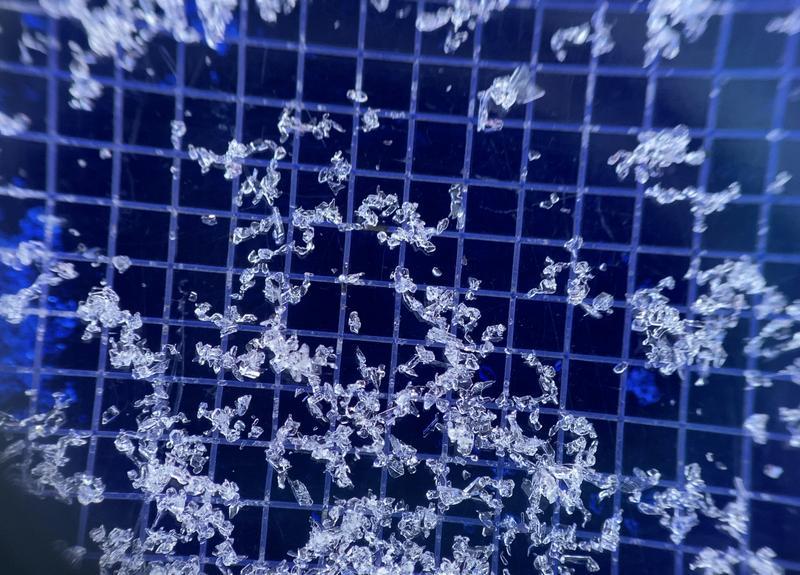
While it seems like nothing is going on, there is in fact A LOT going on in the snowpack. The cold, (mostly) calm, and clear skies have not only promoted weakening and faceting in the upper layers of the snowpack, but these atmospheric conditions have been conducive for surface hoar (wintertime equivalent of dew) deposition on many slopes. I use the word deposition with care: whereas faceting and weakening take place within the snowpack, surface hoar is deposited onto the snow surface. It all makes for soft, turnable snow now, but facets and surface hoar often cause trouble with avalanches down the road. We'll see.
Photos of surface hoar (Steve) and near-surface facets (Torrey), below.
From Ogden to the central Wasatch to the Provo mountains, we have received a number of excellent observations. You can find them HERE. Please keep these excellent reports coming.
My partners and I toured in the Provo mountains on Friday and our report is HERE.