Observation Date
11/18/2022
Observer Name
Hardesty, Kelly, and Wilson
Region
Provo » Provo Canyon » North Fork Provo R.
Location Name or Route
North Fork
Comments
By my rough count, the Provo mountains have picked up 40"/5.0"SWE since October 22nd.
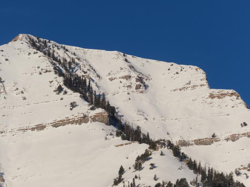
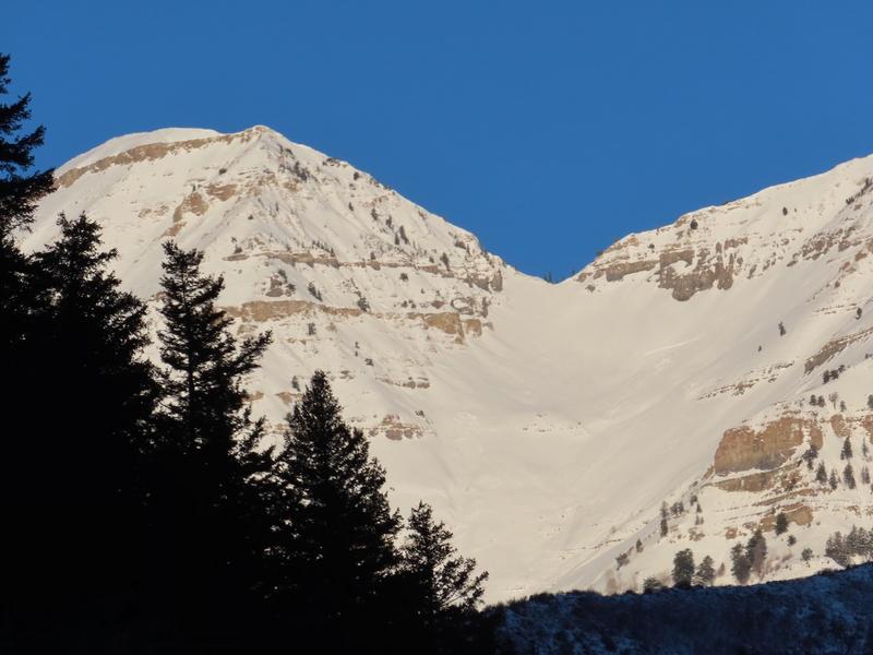
The Nov 8-9th storm brought roughly 12"/1.70"SWE and a localized natural avalanche cycle occurred at that time. Naturals up to size 3 were noted on Timpanogos below Gunsight Notch and on the NE Chute of Elk Point. UDOT Provo canyon photos below.
Since then, clear, (mostly) calm, and cold conditions have significantly deteriorated the snowpack, particularly the snow surface conditions.
Snow depths in the Provo mountains are roughly 12-18" with a knife hard melt freeze crust capped by very weak facets and alternately capped by surface hoar, a thin wind skin, or thin wind slab, depending on elevation.
West>North>East all harbor weak snow with thin and neglible (and weakening) sun crusts on solar aspects.
Video
For now, the avalanche danger is LOW on all aspects and elevations. Loose dry sluffing is possible in steep shady terrain and shallow pockets of wind drifted snow may also be found in steep alpine terrain.
Today's Observed Danger Rating
Low
Tomorrows Estimated Danger Rating
Low
Coordinates


