Forecast for the Ogden Area Mountains

Issued by Trent Meisenheimer on
Tuesday morning, November 3, 2026
Tuesday morning, November 3, 2026
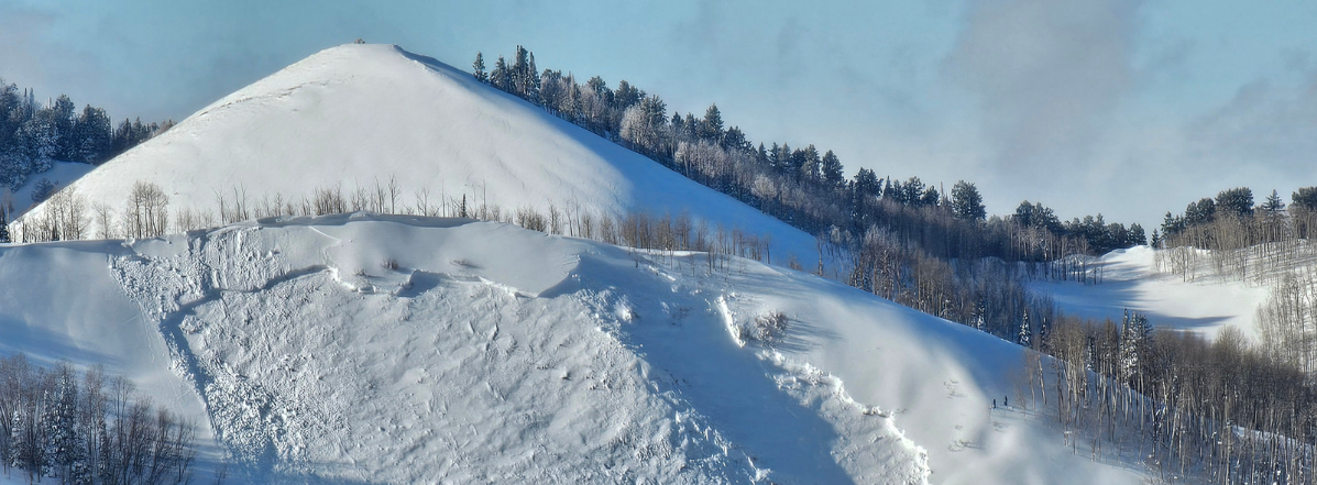
Remember, early-season avalanches can have serious consequences, even when they're relatively small. Getting caught and carried through rocks, stumps, and downed trees can turn a short ride into a nasty one.
If you're heading into the backcountry, carry a beacon, shovel, and probe, know how to use them, and choose your terrain carefully.
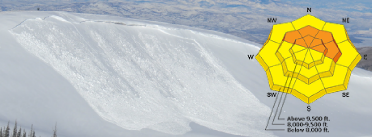
Low
Moderate
Considerable
High
Extreme
Learn how to read the forecast here