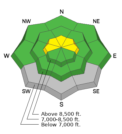
Skies are overcast. Temps are in the upper-20s to low 30s. Winds are generally light from the west-southwest, but they were blowing 15-25mph yesterday. The northern Wasatch mountains picked up 2" overnight with storm totals of up to 6" up high. Snow-water-equivalents were up to 0.80" on Ben Lomond but it rained down low.
The storm arrived hot and heavy on a southwest flow and the dense new snow breathed life back into skiing and riding conditions in the higher terrain. You're still bottom-feeding on the coral on the solar aspects and the mid-elevations(low angle recommended), but the upper elevation polar aspects are a delight.
For today, we'll have off and on snow showers that may add up to 1-3" in favored terrain. Temps will be a touch cooler than yesterday and winds will be generally light from the southwest. We should have some clearing tomorrow through the early part of the weekend before the next series of storms arrive later Sunday into Monday.
We didn't hear of any avalanche activity in the backcountry or the ski areas yesterday, but there was a fair bit of avalanche activity reported in the central Wasatch, primarily on north through east facing aspects at the upper elevations. Wind slabs failing on the pre-existing weak faceted snow were the primary issues and these were 8-18" thick and up to 100' wide. Some of these were triggered at a distance.
You can view all recent observations here.