Forecast for the Ogden Area Mountains

Mark Staples
Issued by Mark Staples for
Wednesday, November 9, 2022
HEADS UP today! There is a lot of dense heavy snow which has doubled the snowpack, and there are many ways for avalanches to break today. There is simply a lot of very heavy new snow containing a lot of water combined with strong south winds blowing for the last 48 hours. At lower elevations, there was rain before temperatures cooled.

I am totally uncertain how the snowpack will react today. What I know for sure is that I would avoid avalanche terrain today. For these reasons today, the avalanche danger is HIGH at mid and upper elevations. Low elevations have a CONSIDERABLE danger.
Skiing and riding was very limited just a few days ago, but this storm has help coverage significantly. Go to low angle terrain less than 30 degrees in steepness with nothing steeper above you to avoid avalanches. With such dense supportable snow underneath and lighter snow falling today, riding conditions will be great.
Low
Moderate
Considerable
High
Extreme
Learn how to read the forecast here
Special Announcements
Many ski areas are now closed to uphill travel in order to prepare for winter operations. Resort uphill travel policies can be found HERE.
Weather and Snow
Precipitation kicked in yesterday around 5 p.m. and snow was falling in the mountains as temperatures dropped below freezing around 4 p.m. Snow fell through the night but really intense snowfall happened early this morning between about 2 a.m. to 5 a.m. along with some really strong winds. From the Snowbasin area to Ben Lomond to Powder Mountain about a foot of snow or more has fallen with 2-2.2 inches of water.
Winds over the last 2 days have been ripping from the south. Overnight they were averaging 25-30 mph and gusting 45 mph. During a burst of snowfall around 3 a.m., the Mt Ogden station shows a gust of 127 mph, and then it stopped recording winds. I'm unclear if winds were that strong or if it was some instrument error.
Today, snow will continue falling with the heaviest snowfall this morning. Some dry air moving into the area this afternoon should pause snowfall, and then light snow will fall tonight. Temperatures started cooling some early this morning and will range from the low to upper 20s F today. Tonight temperatures will drop into the single digits F or colder. Winds will be shifting direction and blowing from the southwest and west today. While they won't be as strong as they have been, they will still average 10-20 mph and continue to drift snow.
Recent Avalanches
Further south in Little Cottonwood Canyon, natural avalanches were happening at around 6 a.m. I suspect there may have been some natural avalanches in the Ogden area mountains during a similar time when the strongest winds and heaviest snowfall was happening.
Ad
Avalanche Problem #1
New Snow
Type
Location
Likelihood
Size
Description
Let's keep this simple because frankly I don't really know what to expect. We could list three for four different avalanche problems today but that will make things more confusing. What helps me is to start with the things that I know:
  • There is a lot of heavy, new snow. Even though the snowpack seemed strong, everything has a breaking point. When the snowpack breaks, avalanches happen.
  • Strong winds from the south have been drifting snow for the last few days and through the storm. Winds shifting to the west will continue drifting snow.
  • During the storm there have been layers of graupel as well as changes in new snow density. All these various storm layers of snow combine to create both a slab and a weak layer, the recipe for slab avalanches.
  • Before the storm, the snowpack was generally dense and strong; however, there were some softer layers and even some old damp facets at the ground (check out B. Smith's ob)
  • At low and mid elevations, some rain and above freezing temperature made the snowpack wet which now has some amount of dry snow on top of it. Wet snow is not strong, and avalanches may break in that weaker wet snow.
  • Natural avalanches are occurring this morning further south, a clear warning sign.
For all these reasons, slab avalanches are likely today. If it seems complicated, it is, and I would avoid avalanche terrain.

But there's good news - Conditions should change for the better in the next several days and the avalanche danger should drop. Cold temperatures will bring light Utah powder tonight. Snow coverage and snow depths have increased dramatically helping to cover rocks and other obstacles. Be patient today.
Additional Information
A Few Things to Remember:
  • Whether you're-hiking, hunting, skiing, boarding, snowshoeing or firing up the snowmachine, be prepared for avalanches
  • Any avalanche can produce serious trauma because of a thin snowpack
  • Hitting rocks and stumps is a real danger. Don't end your season early.
  • Treat ski resorts as backcountry terrain and check out the UAC site for resort uphill travel policies

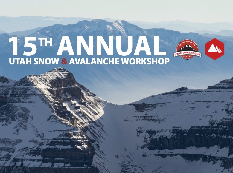
Sign up for the 15th Annual Utah Snow and Avalanche Workshop (USAW) one night left, November 9th. Sign up and get more info for the second session HERE.
General Announcements

This information does not apply to developed ski areas or highways where avalanche control is normally done. This forecast is from the U.S.D.A. Forest Service, which is solely responsible for its content. This forecast describes general avalanche conditions and local variations always occur.