Forecast for the Ogden Area Mountains

Issued by Nikki Champion on
Thursday morning, November 10, 2022
Thursday morning, November 10, 2022
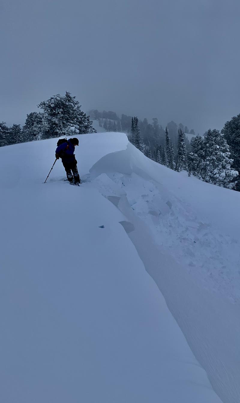
Human triggered avalanches remain likely at upper elevations where soft slabs of new snow combined with fresh wind drifts are the main avalanche problems. In these places the avalanche danger is CONSIDERABLE. While conditions are slowly stabilizing, we still have enough uncertainty that it's worth being conservative today.
Mid-elevations generally had less wind and less snow, but human-triggered avalanches remain possible in the new snow, and the avalanche danger is MODERATE.
A LOW avalanche danger exists at all low elevations, where generally safe avalanche conditions exist.

Low
Moderate
Considerable
High
Extreme
Learn how to read the forecast here