Forecast for the Ogden Area Mountains

Drew Hardesty
Issued by Drew Hardesty for
Thursday, November 21, 2019
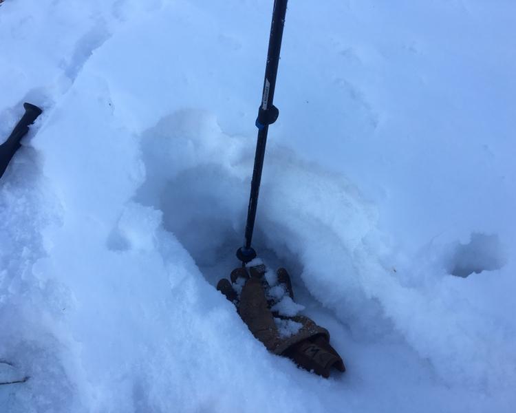
Other than some sluffing in the new snow, there is not enough snow and wind to significantly change the avalanche danger at this time; however, remember that risk is always inherent in mountain travel.

We will provide an update again on Friday, but we are not issuing danger ratings.
We are posting observations every day now, so submit an avalanche or observation HERE. Read observations HERE.
Low
Moderate
Considerable
High
Extreme
Learn how to read the forecast here
Special Announcements
The open and closed resorts have different uphill travel policies, which may change daily as they work towards opening for the season. Check with each resort for the current information. Terrain in unopened resorts must be treated as backcountry.
As part of your early season tune-up, consider taking an avalanche class. We have lots of avalanche education classes listed already - find more info in the Education link in the Menu above.
Weather and Snow
Storm totals look to be around 2-4" as the southern track storm provides much needed relief to southern Utah and mostly skips the north. Temps are in the 20s; winds are easterly, blowing 25mph along the highest ridgelines. The weather headlines center on the canyon winds (blowing east to west) with some gusts near Farmington noted near 70mph. For today, we'll see off and on showers with a gradual clearing and warming trend heading into the weekend.

There is around 1 foot of snow on the shady slopes above 8,000 feet throughout the Ogden area mountains. Old snow distribution is going to be very important the next few weeks, so be conscious of where coverage is as it forming a weak layer at the ground. Recent observations have great photos to help you visualize the coverage.
Ad
Avalanche Problem #1
Persistent Weak Layer
Type
Location
Likelihood
Size
Description
It's a matter of when, not if. Old pre-existing snow capped with a thin crust will likely be quite active when we finally receive enough of a load of snow and wind.
Doug Wewer - Snowpit photo from 8700', N/NE aspect on Ogden Mountain.
Here is a great video about the current snowpack.
Doug Wewer, on Mount Ogden - Check out the full Observeration HERE.
Additional Information
Next week looks to be much more active with a strong cold front arriving Monday morning.