Ski resorts all have different uphill travel policies, so be sure to check the uphill policy of any ski resort before you plan on visiting. With no avalanche mitigation in place, closed ski areas are no different than the backcountry.
Sunny, clear skies will continue to dominate over northern Utah as a ridge of high pressure sits off the coast of California. Over the next two days temperatures will rise into the 40's at upper elevations and dive into the mid to upper teens overnight. You can expect sunny skis with the occasional whispy cloud passing overhead. Winds have been calm and mainly from the northwest for the past 24 hrs. The winds will eventually shift to a more southerly direction as we do have an approaching series of storms that will impact northern Utah through the holiday weekend.
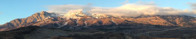
The first blast of snow will be on Thursday, with a potentially larger storm Friday into Saturday. Check out the NWS snowpage HERE - click on Northern Mountains.Many slopes in the Ogden area mountains have no snow, and keeping track of which slopes are bare and which have snow will be critical ahead of the next storm.
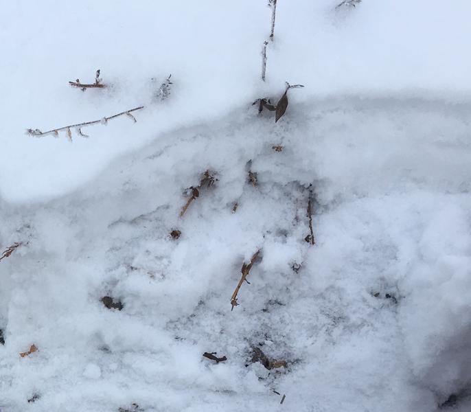
And excellent round up from Doug Wewer of snow coverage in some parts of the Ogden area mountains.
Observation HERE. We would welcome more photos of current snow cover over the next 2 days!
No avalanches have been reported.