Forecast for the Ogden Area Mountains

Issued by J.T. Robinson on
Wednesday morning, November 18, 2026
Wednesday morning, November 18, 2026
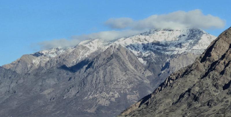
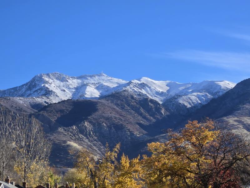
Before the latest storms, there was only a couple inches of old damp snow on northerly aspects above 8,500 feet in elevation. As of this morning, yesterday's storm produced 4-14 inches above 5500 feet, with an inch or two in the valleys and a foot or so above about 8000 feet. A colder storm is approaching Thursday into Friday. We’ll begin issuing regular forecasts once conditions warrant.
Low
Moderate
Considerable
High
Extreme
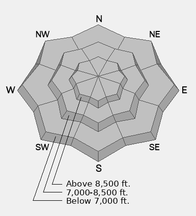
Learn how to read the forecast here