Forecast for the Ogden Area Mountains

J.T. Robinson
Issued by J.T. Robinson on
Friday morning, November 13, 2026

Winter is now knocking at the front door.

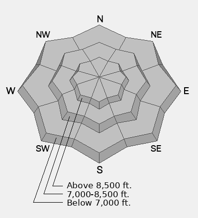
A set of storms are lining up for this weekend and next week. There is also some old snow persisting on northerly aspects above 8,500 feet in elevation from the late-October storms. Observers will be out today to get a closer look at the old snow and see how the beginning of our snowpack is stacking up with these significant storms approaching. We will want to keep track of where the old snow persisted, so if you are out in the mountains and get a picture of snow, send it in to us. It is time to start building our mental map of the snowpack.

We’ll kick off our regular forecasts once snow starts piling up. That may be pretty soon, so keep checking in.
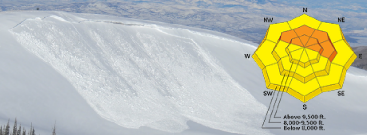
Low
Moderate
Considerable
High
Extreme
Learn how to read the forecast here
Special Announcements

SAVE THE DATES!

  • Thursday, December 3 - Ogden Avalanche Backcountry Bash at the Monarch - Ogden, Utah
  • Saturday, December 5 - 19th Annual Utah Snow and Avalanche Workshop (USAW) - Information here
Weather and Snow

This dry, warm week will give way to a set of storms lining up to hit the Ogden mountains this weekend and into next week. The first storm looks warmer, with the rain/snow line starting around 8,500 feet again before dropping in elevation as temperatures cool overnight. Storm totals should range from 0.4 to 0.7 inches of precipitation along the I-15 corridor, while the mountains are expected to see 0.6 to 1.2 inches of water. By the time it wraps up on Saturday, mountain snow totals should generally land in the 4–8 inch range, mainly above 7,500 feet.

After a short break Sunday and Monday, the next storm looks to arrive around Tuesday with colder temperatures and more precipitation. If it materializes and temperatures stay cold enough, it could be the season-starter storm for Ogden, with the possibility of valley snow.

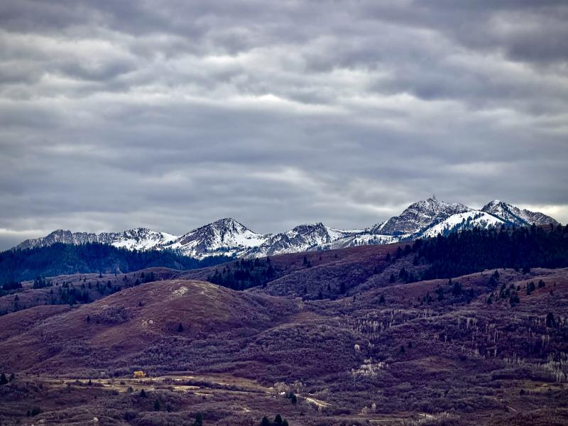
The main character in our snowpack story is the old snow lingering on higher-elevation northerly aspects ahead of these storms. Observers will be out today to see where that snow has persisted and track how it changes as the storms arrive. Those higher-elevation northerly slopes are also our most consequential avalanche terrain.

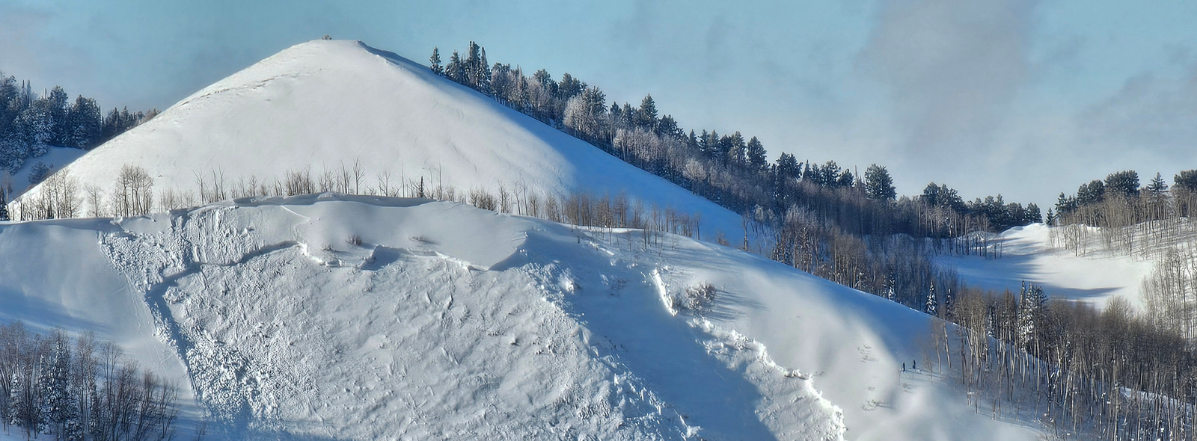
Snowbasin ridge line 11/13/2026

Additional Information

It's time to start thinking about avalanches. Here are a few things to consider doing:

  • Learn online. We have over 5 hours of free online learning at the Know Before You Go website
  • Check out the upcoming in-person Know Before You Go events HERE
  • Sign up for an on-snow class
  • Check out the UAC's education progression HERE
  • Get your avalanche rescue gear ready for winter. Put fresh batteries in your transceiver and update the firmware. Inspect your shovel and probe. Get your airbag backpack ready by possibly doing a test deployment and updating the firmware if it is an electric version or getting your canister refilled if it's not electronic.
General Announcements

This forecast is from the U.S.D.A. Forest Service, which is solely responsible for its content. This forecast describes general avalanche conditions, and local variations always occur.