Skies are clear.
Mountain temps are in the mid to upper 20s.
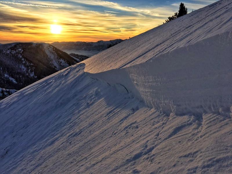
The southwesterlies picked up and are blowing 30-35mph with gusts to 45. The most exposed anemometers have gusts into the 40s and 50s.
Skiing and riding conditions have been pretty good in the sheltered terrain, but that slice of pie is narrowing by the hour.
Total snow depths are 30-40" in the upper elevations with 1-2' down low.
Two significant storm systems are on the doorstep. The first one arrives this evening with snow falling overnight into Sunday afternoon. Most areas can expect 6-12" of new snow. A warm front pushes the door down Sunday night into Monday with another round of denser snow with hourly wind speeds in the 45-55mph range. This may offer another 4-8", but this may be under-done. There are some hints that, for the combined storms, we may see upwards of 2" of snow-water-equivalent (perhaps translating to up to nearly 15-20"+ of snow) by late Monday.
A few more wet loose sluffs noted in steep southerly terrain yesterday, but otherwise quiet. You can always find good info on Instagram @ogdenavalanche
Three snowmobilers had a very close call in Providence Canyon up in the Logan area mountains yesterday and you can find more info on the Observations and Avalanches page. The avalanche was on a steep wind drifted south facing slope at 9000'. Logan forecaster Toby Weed spoke to the individuals and his photo is below. If you are one of of those Instagram people, you can find more on this @logan_avalanche_uac or on YouTube
here. 


