Forecast for the Ogden Area Mountains

Nikki Champion
Issued by Nikki Champion on
Tuesday morning, January 28, 2020
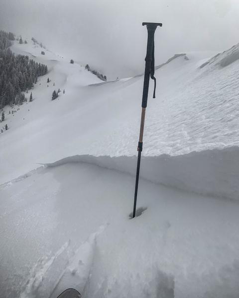
Today, a MODERATE avalanche danger exists on all upper elevation slopes, and North, East, and South facing mid-elevation slopes with wind drifted snow. These wind drifts could be especially present, but not isolated to leeward ridgelines. Look for any signs of wind drifted snow, and avoid those slopes.

A LOW avalanche danger exists on all west-facing mid-elevation slopes and all low elevations, where generally safe avalanche conditions exist.
Low
Moderate
Considerable
High
Extreme
Learn how to read the forecast here
Special Announcements
NEW UAC Podcast: The Art of Storytelling Through Film - A Conversation with Trent Meisenheimer check it out HERE.
NEW UAC BLOG: The Anthropology of Risk - How Did We Get Here? Find it HERE
Weather and Snow
Yesterday's storm system produced 5-6 inches (.5-.6" SWE). Northwesterly winds stayed elevated all-day averaging in the mid-teens and gusting into the 30s mph at ridgetops. The uppermost elevations, saw gusts above 40 mph yesterday afternoon and evening.
This morning, mountain temperatures are in the low 20s F at trailheads and mid-teens F at ridgetops. Winds are currently still northwesterly averaging in the single digits to low teens with gusts up to 20 mph.
Today, another disturbance will move through the area bringing temperatures in the mid-30s and another 4-7 inches of snow late this afternoon into early Wednesday morning. Winds will be westerly average 10-25 mph with gusts up to 35 mph at the highest ridgelines.

Looking down the road, weekend ridgetop temperatures may reach into the mid-40s F! The heatwave should be brief; however, the models do bring a strong cold front on Monday.
Recent Avalanches
Yesterday no new avalanches were reported in the backcountry, but the ski areas reported both sensitive soft slabs, and surprising large wind drifts of snow which were large enough to bury a person. These avalanches are running long and fast on a variety of old bed surfaces.
Ad
Avalanche Problem #1
Wind Drifted Snow
Type
Location
Likelihood
Size
Description
Yesterday winds remained strong enough to drift snow throughout the day, with gusts above 40 mph at the highest of ridgelines. Today these drifts will be most widespread on north through east and south-facing slopes, especially at the uppermost elevations. However, high winds can deposit snow around terrain features on almost any aspect, called cross-loading. For this reason, I would expect to find sensitive slabs of wind drifted snow at all upper slopes, and north, east and south-facing mid-elevation slopes, especially along with terrain features such as ridgelines, sub ridges, and gullies.
Today continue to look for slopes with any signs of wind drifted snow, such as cracking, hollow noises, and pillow-shaped snow and avoiding those slopes.
A photo from the Central Wasatch, on S. Monitor bowl yesterday that represents the type of avalanches likely triggered near ridgelines yesterday and today. (Photo: M. White)

Cornice: Many ridgelines now have large and overhanging cornices. With yesterday's strong winds at the uppermost ridgelines, I would expect to see the cornices to have grown. As you travel along ridgelines be sure to give cornices a wide berth as they typically break much further back than expected.
Additional Information
General Announcements
This information does not apply to developed ski areas or highways where avalanche control is normally done. This forecast is from the U.S.D.A. Forest Service, which is solely responsible for its content. This forecast describes general avalanche conditions and local variations always occur.