Forecast for the Moab Area Mountains

Eric Trenbeath
Issued by Eric Trenbeath on
Friday morning, November 6, 2026

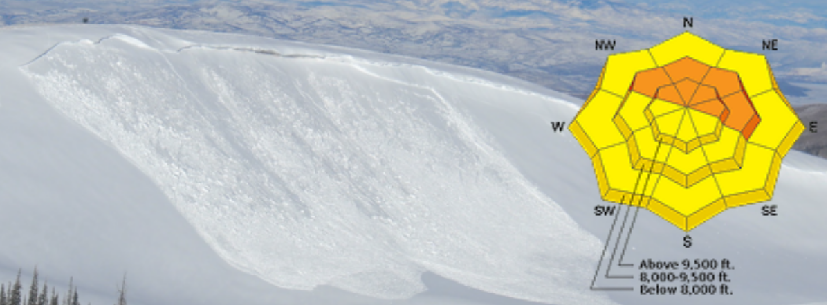
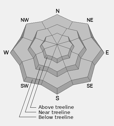
Our dense, early season snowpack has settled under the calm, clear weather and human triggered avalanches are unlikely but not impossible. If you are up in the high country, remain on the lookout for unstable areas of wind drifted snow on the leeward sides of ridge crests and terrain features primarily on slopes that face NW-N-NE-E. Suspect areas that have a smooth rounded appearance or that may sound hollow underneath. Even a small avalanche could take your for an ugly ride.

Dave and I are officially back on this week and we’re starting to get out and about. The next significant storm system will likely dictate the beginning of daily forecasts. In the meantime, we’ll post twice weekly updates and publish observations.

Read current observations here.
Low
Moderate
Considerable
High
Extreme
Learn how to read the forecast here
Weather and Snow

General Conditions

It's been a wild month of warm weather and lots and lots of water! All told, October produced over 12 inches of liquid in the mountains with snow totals varying widely due to a fluctuating rain/snow line that at times was higher than 11,000 feet. Prior to the last storm system, all south facing slopes had melted off and only a few inches of snow remained on the ground on northerly aspects at 10,000 feet. Above treeline, snow depths were generally around a foot with deeper drifts in wind favored areas. By the morning of November 2, temperatures had dropped and the base depth at Gold Basin crept up to 11 inches. Depths above 11,000 feet now range from 2-3 feet.

Dave was out in the field on Wednesday and gave us this video report of conditions. You can also read his observation here. Up high, you'd think it was already mid-winter with an unusually strong snowpack, but below 11,000 feet, conditions are very thin, and travel is difficult.

Chris Benson also provided this video of aerial footage. It's amazing how white it is up high!

NWS La Sal Forecast

Gold Basin Weather Station (10,000')

Gold Basin SNOTEL (10,000')

Pre-Laurel Peak Weather Station (11,705')

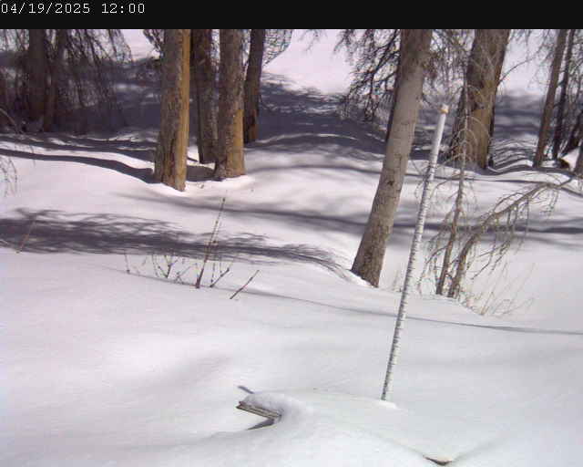
Gold Basin Web Cam (10,000')

Recent Avalanches

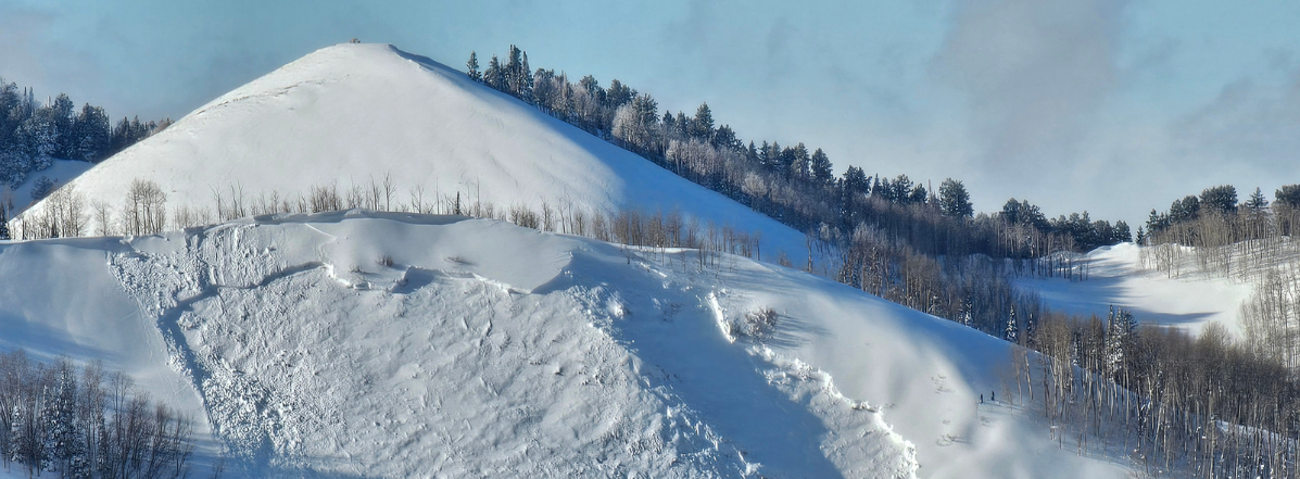
Aerial observer Chris Benson observed some avalanche activity off Mounty Peale and in upper Dark Canyon that likely occurred during the height of the storm on Monday. They appear to be natural releases involving wind drifted snow.

General Announcements

This forecast is from the U.S.D.A. Forest Service, which is solely responsible for its content. This forecast describes general avalanche conditions, and local variations always occur.