Donate to the 2024 Spring Campaign to help rebuild the UAC website.

Forecast for the Moab Area Mountains

Eric Trenbeath
Issued by Eric Trenbeath for
Friday, April 5, 2019
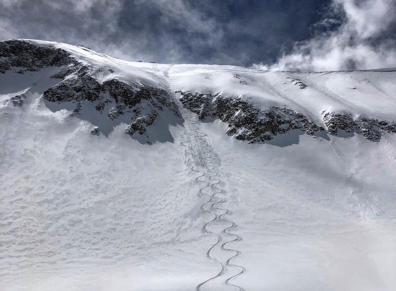
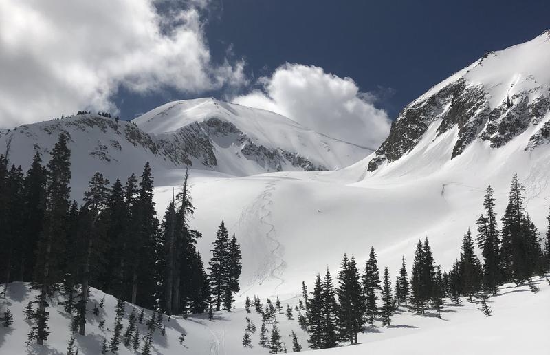
The avalanche danger is generally LOW but normal caution and an awareness of avalanche danger should be maintained. If you are venturing into steep, high elevation, north facing terrain it is still possible to trigger loose snow sluffs that could knock you off your feet and carry you over a cliff. Also be on the lookout for isolated areas of wind drifted snow. And, as the day heats up, be mindful of the potential for loose, wet activity on sun exposed slopes.
Low
Moderate
Considerable
High
Extreme
Learn how to read the forecast here
Special Announcements
When the forecasting ends, the UAC’s work keeps going strong. Summer is a busy time for the UAC. During the summer we are working hard on our fall and winter planning; putting together the Fall Fundraiser and USAW; updating our awareness and education programs; this summer we will be finishing up the website redesign project. Your donation shows you’re invested in this community all year round! You can still be part of the UAC’s success in 2019. Consider making a donation by April 8.
Weather and Snow
Thin, high clouds are spreading over the region with a few lower clouds gathering around the mountains. SW winds have been on the increase overnight and are averaging 20-25 mph with gusts into the 30's. Overnight lows have hovered right around freezing. Today look for partly sunny skies with increasing clouds late in the day ahead of the next approaching Pacific Storm system. SW winds will be light to moderate, and high temps will be near 40 degrees. The storm will begin impacting our area sometime after midnight tonight with mostly cloudy skies and snow showers tomorrow. 1"-3" are possible.
It's been quite a week for spring skiing and riding in the La Sals. Last Sunday's 8"-10" has made for excellent dry snow conditions on upper elevation northerly aspects. Folks have been taking advantage of the mostly stable conditions, and tracks are appearing in places not visited all winter. Yesterday, Mark Sevenoff and I climbed a high peak and made a steep north facing descent. We found mostly stable snow, but we were able to get some loose snow sluffs moving as the slope steepened beyond 40 degrees. We also noted a few isolated wind drifts. By noon, the snow was starting to get pretty moist and exposed surfaces will be crusted over today.
Note the rollerballs off of the ski tracks. By noon, things were definitely moistening up.
New snow totals in Gold Basin (10,000')
Snotel totals at the Geyser Pass Trailhead (9600')
Winds at 11,000 feet on Abajo Peak (11,330') about 45 miles south.
National Weather Service point forecast.
Ad
Avalanche Problem #1
Normal Caution
Type
Location
Likelihood
Size
Description
Low danger doesn't mean no danger, especially if you are beginning to set your sites on some of the bigger lines, and more extreme terrain that the La Sals have to offer. Continue to be on the lookout for isolated wind rolls on the leeward sides of high elevation ridge crests and terrain features. Loose snow sluffing on very steep, north facing slopes is also still a possibility. Though mostly shallow, and not very wide, a loose sluff could carry you over a cliff and ruin your day if not your life. Practice safe travel techniques, and carefully evaluate the snow before committing to extreme terrain. And finally, as the day heats up, be alert to signs of wet instability such as roller balls or pinwheels, and get off of steep slopes as they become wet and sloppy.
General Announcements
Your information can save lives. If you see anything we should know about, please help us out by submitting snow and avalanche observations HERE. You can also call me at 801-647-8896, or send me an email: [email protected].
Support the UAC through your daily shopping. When you shop at Smith's, or online at REI, Backcountry.com, Patagonia, NRS, Amazon, eBay by clicking on these links, they donate a portion of your purchase to the UAC. If you sell on eBay, you can have your See our Affiliate Page for more details on how you can support the UAC when you shop
This forecast is from the U.S.D.A. Forest Service, which is solely responsible for its content. This forecast describes general avalanche conditions and local variations always occur.