Forecast for the Moab Area Mountains

Issued by Eric Trenbeath on
Saturday morning, April 6, 2019
Saturday morning, April 6, 2019
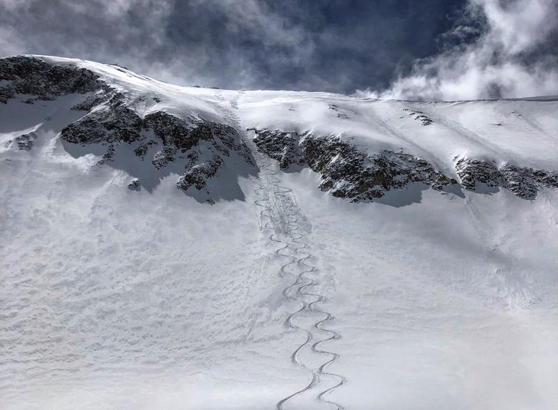
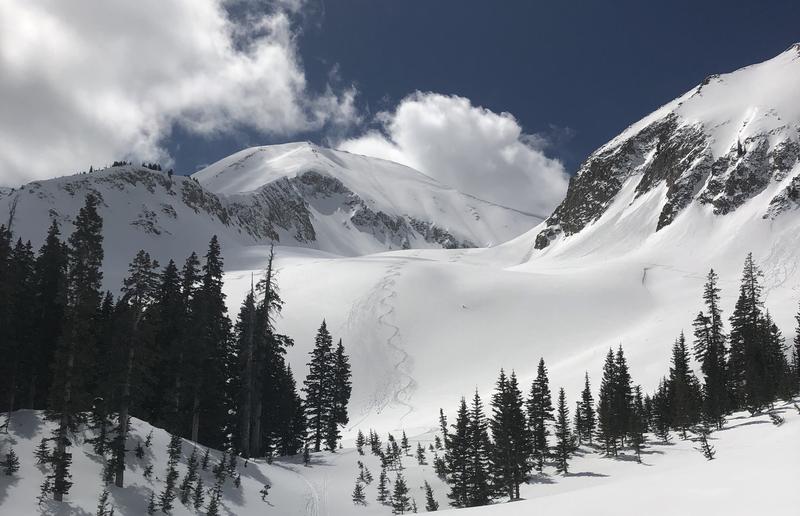
The avalanche danger is generally LOW but normal caution and an awareness of avalanche danger should be maintained. If you are venturing into steep, high elevation, north facing terrain it is still possible to trigger loose snow sluffs that could knock you off your feet and carry you over a cliff. Also be on the lookout for isolated areas of wind drifted snow.

Low
Moderate
Considerable
High
Extreme
Learn how to read the forecast here