Road Conditions: The road is a mix of dirt, mud, and patches of packed snow. It gets sloppier as the days warm up. All wheel drive and good tires are recommended.
Grooming: Trails have not been groomed since last week but they are well packed from traffic.
6:00 a.m. weather data:
24 Hour Snow 3" 72 Hour Snow 4" Base Depth at Gold Basin 59" Wind NW 10-20 Temp 18F
An upper level trough is exiting the region leaving mountain cloudiness in its wake. We'll see gradual clearing today with NW winds blowing in the 20-25 mph range with gusts to 30 along ridge tops. High temps at 10,000' will be in the low 30's. A weak shortwave will bring more clouds to the area tonight. The next system and chance for snow comes on Sunday. It doesn't look like anything major.
Snowpack
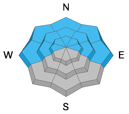
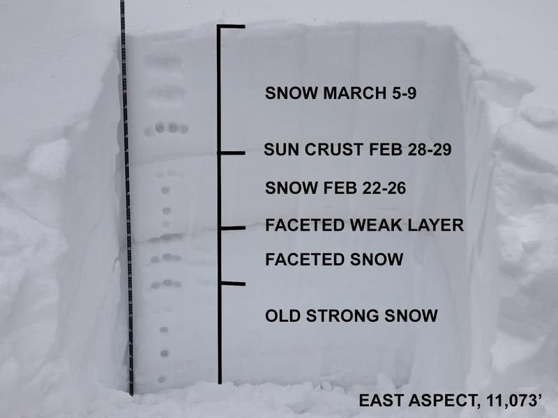
The snow pack has taken a hit from this warm weather and all sun exposed slopes are crusted over. Even low angle north facing slopes have been affected. A buried persistent weak layer of faceted snow that formed during the Jan-Feb high pressure remains a concern and it is still capable of producing avalanches over two feet deep. This was may take on thigs last Sunday as we move from Considerable to Moderate danger.
Snow and Weather Links
It's been an active period throughout the state for
human triggered avalanches with almost all of the other zones reporting accidents and near misses. A lot can be learned from these reports, and it's certainly worth your time to read through them.


