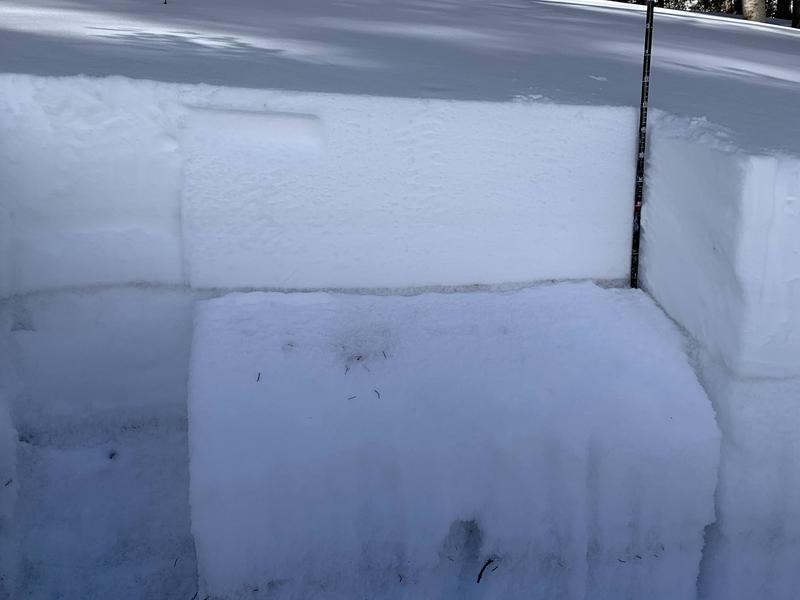
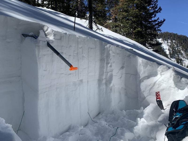
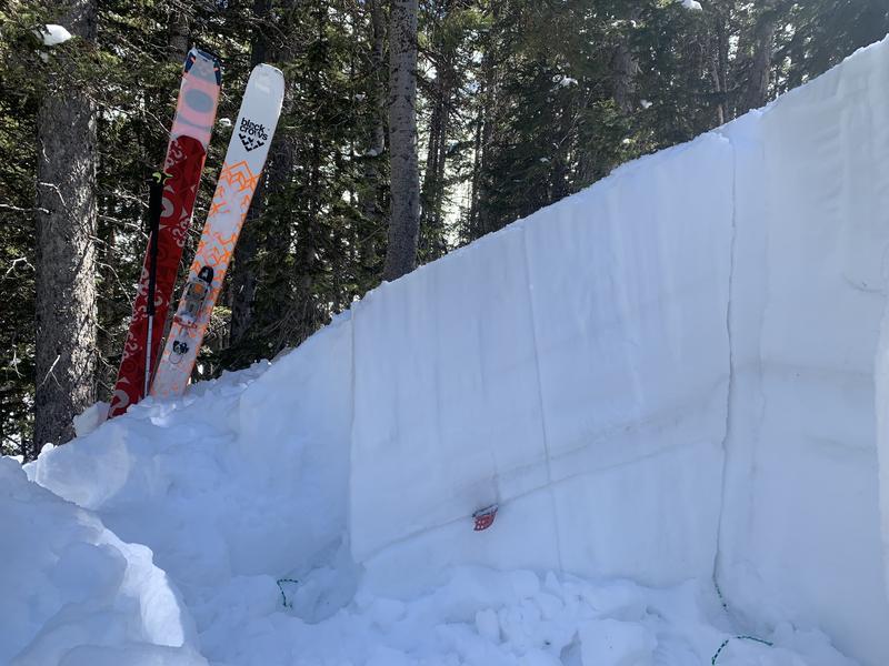
Monday and Tuesday I traveled on untouched snow looking for signs of instability. I did not experience any collapsing or cracking. A low elevation pit revealed a shallow and weak snow pack at 9,930 ft on a NE slope at the bottom of Exxon's Folly. Total depth here was 110cm, this pit produced an ECTP10 failing on facets down 40cm. This has me worried about low elevation steep shots that are sparsely treed. Gain some elevation and the pack gets deeper and stronger. I dug a pit in the glades below middle snow cirque and it showed a stronger snow pack. Total depth was 195cm in a sheltered spot at 10,570 ft on a NE aspect. This pit produced a CTN (compression test no failure) and an ECTX (extended column no failure). A propagation saw test in this pit produced the following result: PST 37/100 END down 70cm on 220222. This means if you did trigger this layer it is capable of propagating and producing a slab avalanche over 2 feet deep. My CT and ECT results are promising, and show the weak layer gaining some strength, but there is still a very real possibility of triggering this layer and producing avalanches.